


SEELEY LAKE — The Colt Fire burning northwest of Seeley Lake grew additional 700 acres due to gusty winds.
The lightning-sparked fire burning 15 miles northwest of Seeley Lake is 6,177 acres and is 8% contained.
Additional acreage increase is expected due to Sunday's intense fire activity.
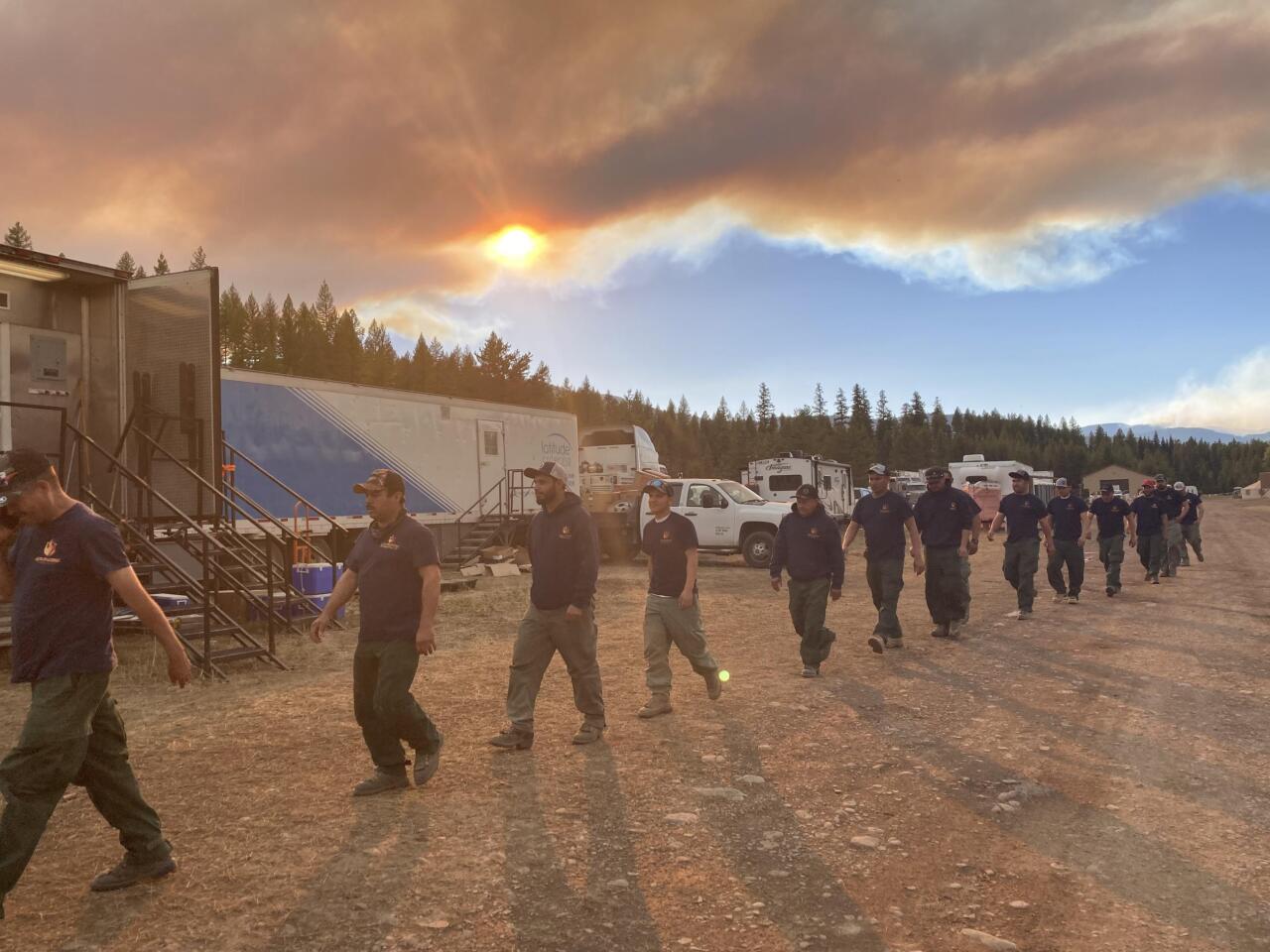
Crews are working to establish containment lines around the fire.
A night shift of engines and personnel will patrol, monitor fire conditions, and engage in suppression actions.
Helicopters and airplanes will be used to drop water and retardant on the fire as they are available.
WEATHER AND FIRE BEHAVIOR:
The high temperatures in the fire area on Monday will range from 80-91 degrees, with relative humidity levels in the mid to upper teens. Winds will be from the west to southwest at 10 mph.
These warm and dry conditions will again lead to active, intense fire behavior.
Moderate growth is expected with the fire moving through the heavy dead and down surface fuels. Torching and spotting are possible in the subalpine fir and lodgepole pine.

EVACUATIONS AND CLOSURES:
The Missoula County Sheriff’s Office Evacuation Warning and Order summary:
-Residents on Beaver Creek Road (near the summit) are under an Evacuation Warning.
-Mile marker 31 (Beaver Creek Road at the intersection of Hwy 83) south towards Seeley Lake to mile marker 27, and including residences in Rovero Flats, are under an Evacuation Order.
-Residences beginning at mile marker 27, south end of Rovero Flats, to mile marker 25.5 (the intersection of the West Fork of the Clearwater Road and Hwy 83) are under an Evacuation Warning.
-Residences on the north and south ends of Lake Inez are under an Evacuation Warning.
-The east side of Lake Inez, along Hwy 83, is not under any Warning or Order.
If conditions rapidly change an Evacuation Order may be issued with no prior notice or warning.
The Lolo and Flathead National Forests have closed several forest roads, areas, and campgrounds near the fire area for public safety. The list of current closures includes:
-Forest Road 906 (closed at Highway 83) -Rainy Lake Campground access road 4357 (closed at Highway 83)
-Rainy Lake Campground -Alva Lake Campground access road (closed by gate at Highway 83)
-Alva Lake Campground
-Lakeside Campground access road (closed by gate at Highway 83)
-Lakeside Campground -Lake Inez Campground
-Forest Road 646 (closed at the junction of FSR 552; FSR 435
-Forest Road 552 (beyond the turn off to west side Lake Inez access
-Forest Road 5407 and 463 closed beyond the West Side snowmobile trailhead (these roads access the Montana Fish, Wildlife, and Parks Marshall Wildlife Management Area and Lake Marshall)
-Temporarily closing the Forest System Road loops of the Clearwater (FSR 4370 and 4353) and Richmond (FSR 667 and 720)
