

Recently, a viewer sent me these images of this cloud and wrote that, according to artificial intelligence, the cloud was a Kelvin-Helmholtz wave cloud.
There have been several of these cloud formations that have been visible in Montana recently. These clouds are a wavelike shape that forms when the air above is moving faster than the air below, pushing over the tops of the clouds and creating the rolling wave appearance similar to waves at the beach. The clouds are long but narrow, and what makes them rare is that they only last for a few minutes, making them infrequently seen.
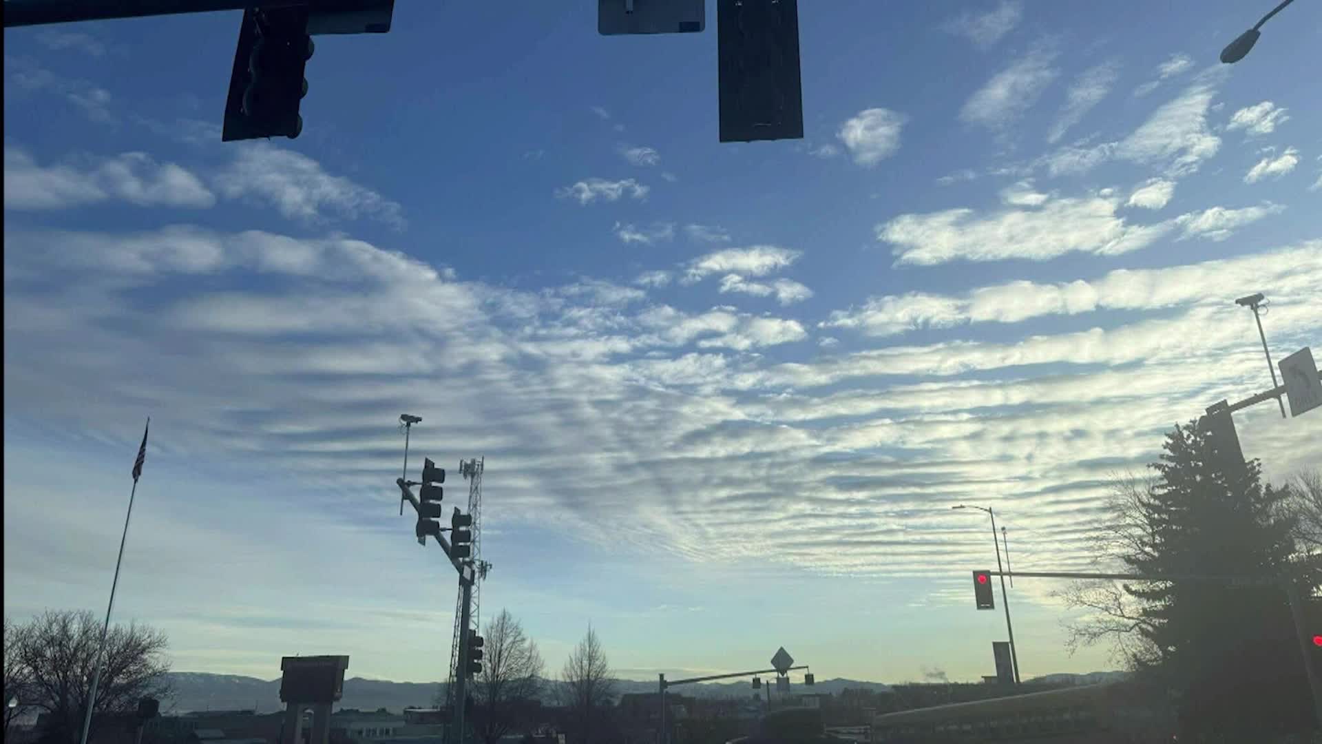
This cloud formation that a viewer emailed in is likely a gravity wave cloud that forms in stable atmospheric conditions and over topographic features like mountains. These clouds are long width-wise and do develop in a wave-like fashion, but these clouds are clearly different.
Weather computer models are some of the earliest forms of artificial intelligence. A lot of computing power analyzes tremendous amounts of data and creates a forecast. These computer models are full of errors that defy basic laws of science. It's the meteorologist's job to have a final human analysis.
There may come a day when AI is superior to human intelligence, but when it comes to weather, we're not there yet.
