

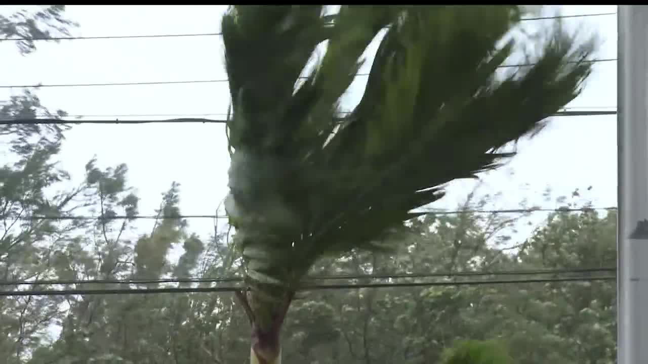


Climatologically, the peak activity of hurricane season is the first half of September. This year has been a tale of two halves between the Pacific and the Atlantic.
Hurricane activity in the Pacific has been very high. There have already been 13 named storms, while a total of 15 storms typically form in an average year. The season started strong with three named storms by early June, the most active opening to a season since 1985. August has been very busy with seven storms developing, the highest number since 2009. Hurricane Lala became the first hurricane to directly hit the Big Island of Hawaii since 1871. Most recently, hurricane Lowell intensified into a category 5 system. Storminess for the rest of the season through November is expected to continue.
Over in the Atlantic, it's been the quietest hurricane season on record since 1966. Only 5 named tropical storms have formed, including Dolly, but there have been no hurricanes. All of the tropical storms have had little to no impact on any land. Higher than normal concentrations of dust from the Saharan Desert create conditions where tropical development is more difficult. And, El Niño years can contribute other conditions like increased wind shear in the Caribbean that reduces the number of storms. There is a lot of hurricane season left, but the patterns of pacific activity and Atlantic dormancy should continue. These outcomes are a common result of a strong el nino.
While Montana never has and never will be hit directly by a hurricane, in some years of busy Pacific seasons, remnant moisture can be drawn into Montana, contributing to rain and thunderstorms here in Big Sky Country. Moisture from hurricane Marie off the coast of Baja California was pulled into the current storm hitting Montana with severe hail and heavy rain. I'm meteorologist Curtis Grevenitz, and now you're a little more Weather Wise.
