

According to the Gallatin and Flathead avalanche centers, recent avalanche danger has been reported as high at upper elevations and considerable everywhere else.
Over the last couple of weeks, the storm cycle has really picked up, followed by the avalanche cycle. Several feet of new snow have fallen in the mountains as storms have paraded across Montana. Prior to that, much of November was dry and mild.
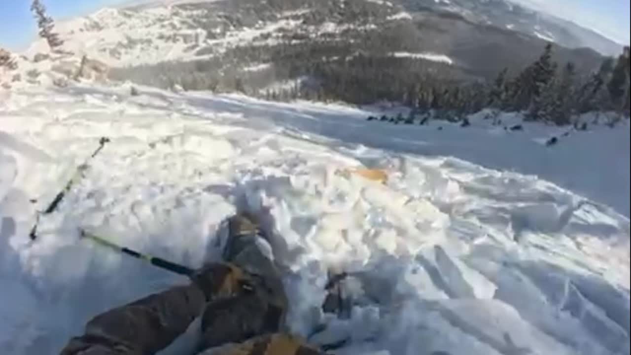
All of this new snow fell on top of an old layer of snow from a big October storm. For weeks, that snow layer sat, becoming an unstable layer for all of this new snow. Recent avalanches have mainly broken down to this early-season weak layer.
Avalanches several feet deep have occurred naturally and have been triggered by human activity. On December 1, a skier was caught and carried by a slide in the Bridger Range. Numerous other avalanches have been remotely triggered by people in the backcountry.
The current weather pattern is like a firehouse that's spraying out of control across the West. Heavy precipitation, powerful wind, and fluctuating snow levels for the next week will only add to the avalanche danger.
Eventually, that weak snow layer from October will stabilize and begin to bond with the snow above it. As the snow continues to pile up and backcountry enthusiasts are eager to get out, it's imperative to follow all avalanche precautions. Avoid travel on and underneath slopes steeper than 30 degrees, especially on slopes that are actively being loaded by blowing snow in the upper elevations and along ridgelines.
