

HELENA — A persistent pattern has left Montana and much of the West with limited winter weather this season. But just because it's not snowing here doesn't mean it's not snowing there, just ask the East Coast.
Understanding why the weather has been like this for so long, you have to look at the big picture. High-pressure ridging has dominated the western half of the United States. High pressure is associated with calm, dry and milder conditions. Under this high, there are states like Colorado that have their lowest snowpack in 40 years.
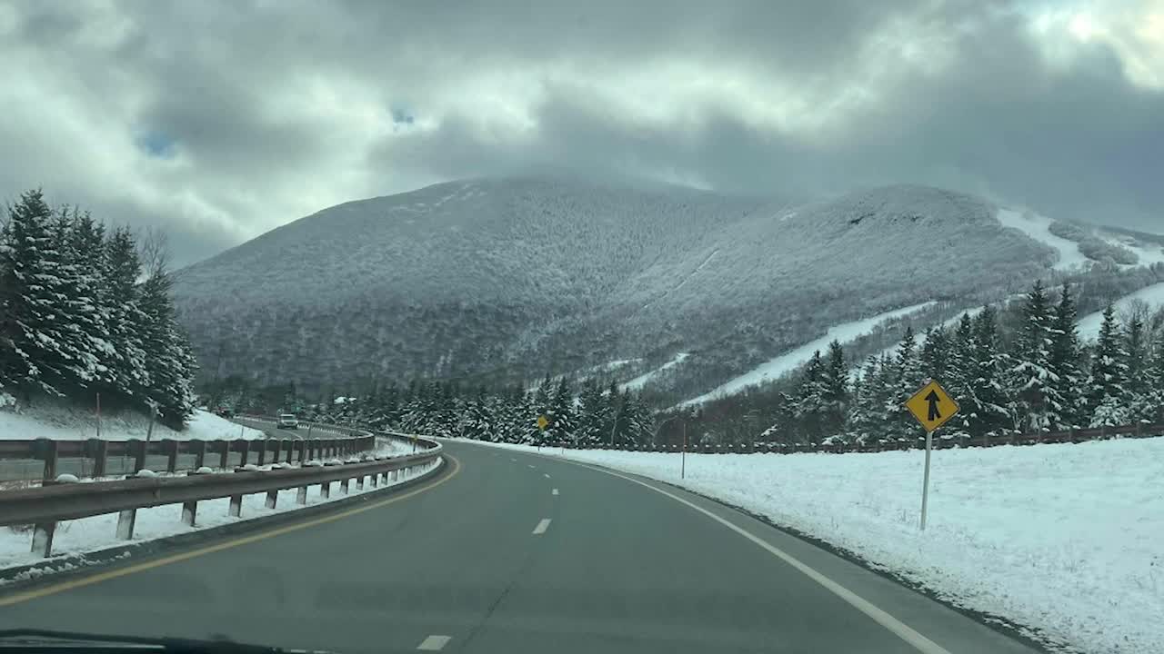
While high pressure has dominated the West, the East Coast has been under a deep trough of low pressure. This is usually associated with colder and wetter weather. For as long as Montana has been mild and dry, the East Coast has been enduring one of the harsher winters in years, maybe decades. Besides this recent historic snowstorm, some parts of New England have already exceeded a normal winter's worth of snow. Jay Peak Ski Area in Vermont has already had over 300" of snow on its way to their snowiest season ever, potentially.
On the other side of the maddening Montana and western high pressure is another deep trough in the Pacific. At times, this trough has produced atmospheric rivers that created heavy mountain snow and flooding rain in Montana. But more of that moisture has hit British Columbia up to Alaska. This area has had record amounts of snow and don't forget the cold. It's been the coldest winter for much of Alaska in the last 70 years. This Pacific trough extends west into eastern Asia, with Russia and Japan also buried under historic snow.
Patterns can persist for months sometimes. Sometimes you get the trough, sometimes you get the ridge. Why exactly this pattern forms and persists this way is really unknown.
