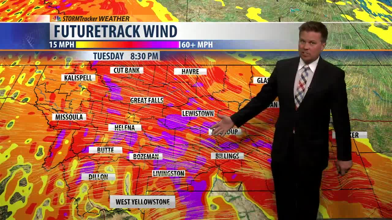
A HIGH WIND WATCH has been issued for Glacier, Toole, Teton, Pondera, Lewis & Clark, Cascade and Judith Basin Counties for Tuesday morning through Tuesday evening. Powerful wind could damage property and cause isolated power outages. Travel could be difficult especially for high profile vehicles and lightweight trailers. Strong crosswinds will blow across north-south oriented roads. A new storm will produce this wind but also mountain snow, wind swept rain showers, and even a few thunderstorms are possible. The strongest wind will be in the afternoon and evening as a cold front slices through the state. Highs will be in the 40s and 50s but fall into the 30s after the front. Temperatures will drop enough where snow levels will fall to the valley floors and plains Tuesday night into Wednesday morning. Travel over the mountain passes will be slippery, but the snow won't accumulate much in the lower elevations. Wednesday will be a chilly, blustery day with scattered snow showers. Highs will be in the 30s and 40s. After a stormy stretch, Thursday and Friday will be very, very nice. Thursday will be sunny with highs in the 50s. Friday will be mostly sunny and most of the state will warm into the 60s. That's the warm before the storm because much colder air will move in this weekend. Saturday will have scattered snow showers and blustery conditions, highs will be in the 30s. Sunday will be chilly with highs in the 20s and 30s, partly cloudy skies, and snow showers will fly again. Monday will have another cold front bring in even lower temperatures and more snow showers. Highs on Monday and Tuesday may not get out of the 10s and 20s for most of the state. Brrr!
Have a great day.
Curtis Grevenitz


Posted
and last updated
