


A HIGH WIND WATCH has been issued for parts of central Montana for Wednesday.
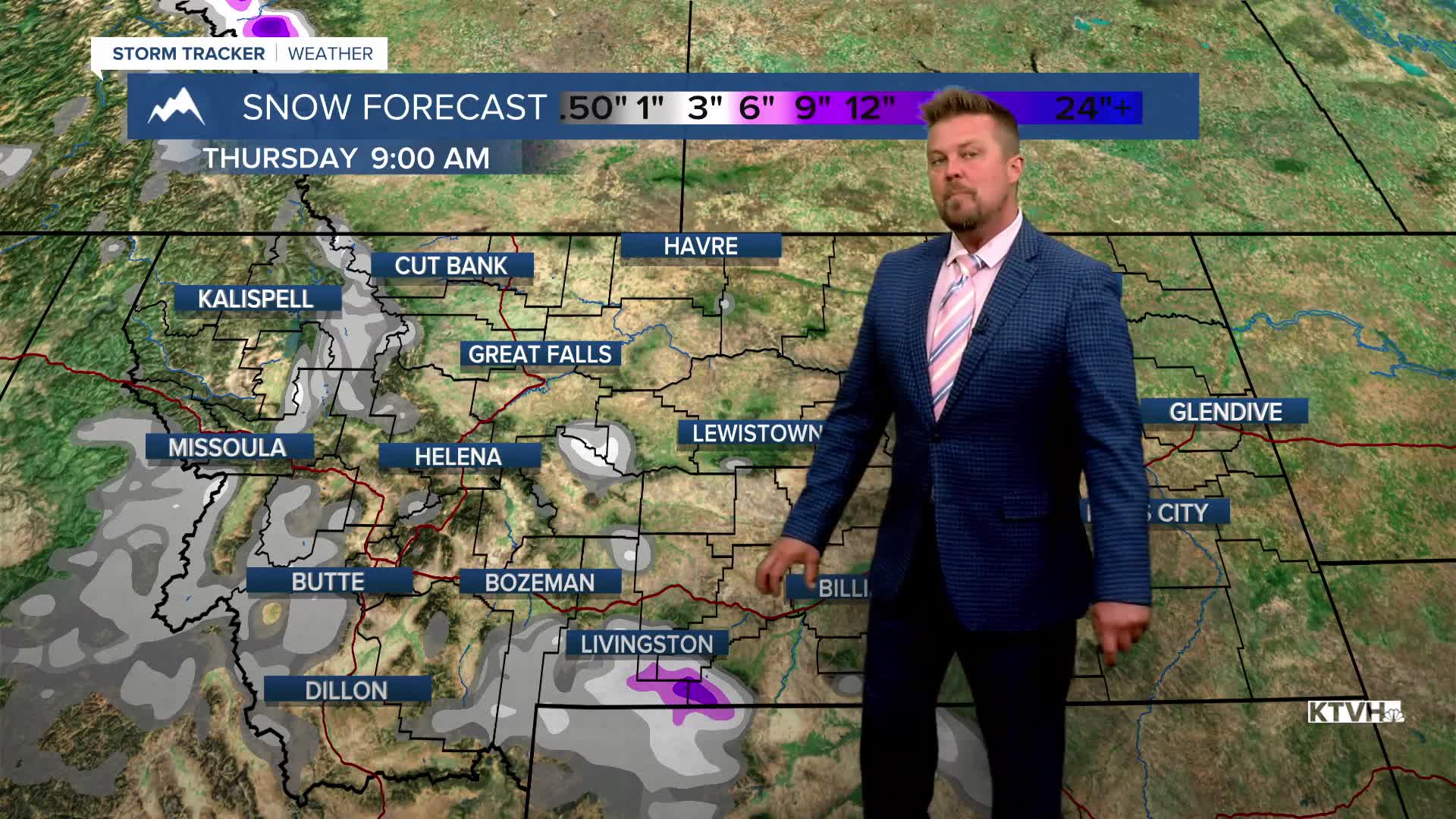
June has been pretty wet and cool with some mountain snow so far, and another storm will bring more of the same through Wednesday. Wednesday will be mostly cloudy to start with just a few isolated showers. There may even be a period of sun early on. Showers will increase through the afternoon into the evening. It will not be very pleasant outside with strong west wind, chilly temperatures, and areas of rain coming down sideways. Snow levels will drop to around 6000' with a light accumulation of a few inches. Most of the state will be chilly with the wind and highs in the 50s to around 60. Rain and mountain snow will continue Wednesday night. Thursday will start mostly cloudy with a few showers, but as the storm moves away, skies will become partly cloudy in the afternoon. There will be a few lingering showers mainly up on the Hi-Line and across eastern Montana. The wind will not be quite as strong but it will still be there. Highs will warm into the 60s to around 70. Friday will be a great day with mostly sunny skies and warmer temperatures in the 70s, however, a few scattered showers and thunderstorms will impact the Cut Bank area down to Great Falls later in the afternoon and evening. This weekend will not be as wet as the last couple of weekends but it will not be completely dry. A cold front will move across the state on Saturday with mostly cloudy skies and scattered light rain showers. Highs will be in the 50s to near 60. The Governor's Cup Race will likely have light rain and a north breeze through the event. Sunday will be partly cloudy with a few lingering showers. Rain will be steadier down near I-90. Highs will be cool again, in the 50s and 60s. Monday and Tuesday will warm up and dry out, go figure.
Have a great day,
Curtis Grevenitz
Chief Meteorologist
