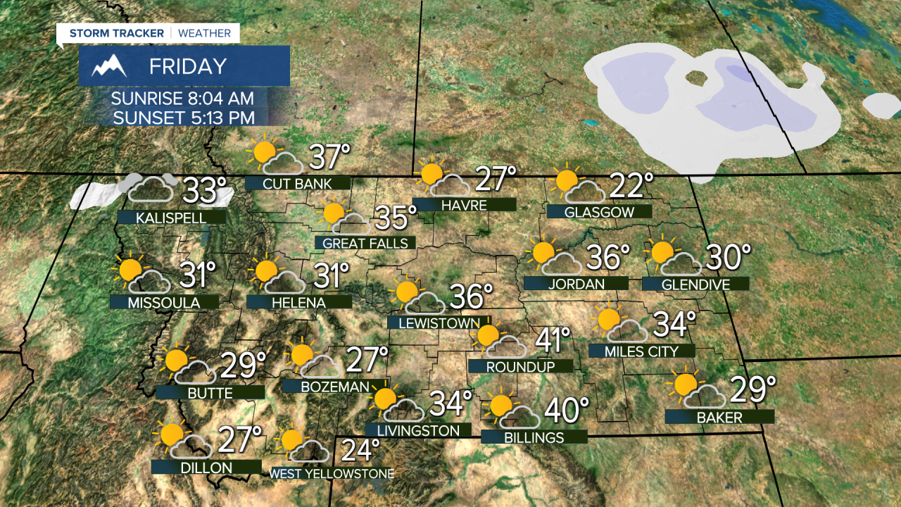
A pesky little storm system has been producing some light snow showers and will continue to move out of the state over the next 12-18 hours. This storm was not very large and was fairly manageable for Montana. What you see is what you're going to get as far as the next few storms coming through the state. There are a series of minor storms that will bring light snow to parts of, not all, of Montana with reinforcing chilly temperatures. Overall it's nothing that is not expected for the later half of January. A small area of low pressure will clear eastern Montana on Wednesday with increasing sunshine and highs in the 30s to near 40. A fast moving front will bring snow showers and some light snow to the western half of Montana beginning late Wednesday into Thursday. Areas of snow will be found mainly in the western half of the state on Thursday with more sunshine and dry conditions over the eastern half of Montana. Highs will be in the 20s and 30s. Friday and Saturday will be quiet and seasonably cool with highs in the 20s and 30s. Clouds will increase Saturday ahead of another front. This storm system will bring widespread light snow to much of Montana Saturday night into Sunday. A light accumulation of a few inches is possible. Slightly colder temperatures with highs in the 20s will move in for Monday. Another fast moving minor storm could hit the state late Monday night into Tuesday, with yet another weak system around Wednesday into Thursday. The rest of January looks more like January than the first few weeks of the month. There will be more opportunity for snow and colder but not brutally cold temperatures.
Curtis Grevenitz
Chief Meteorologist


