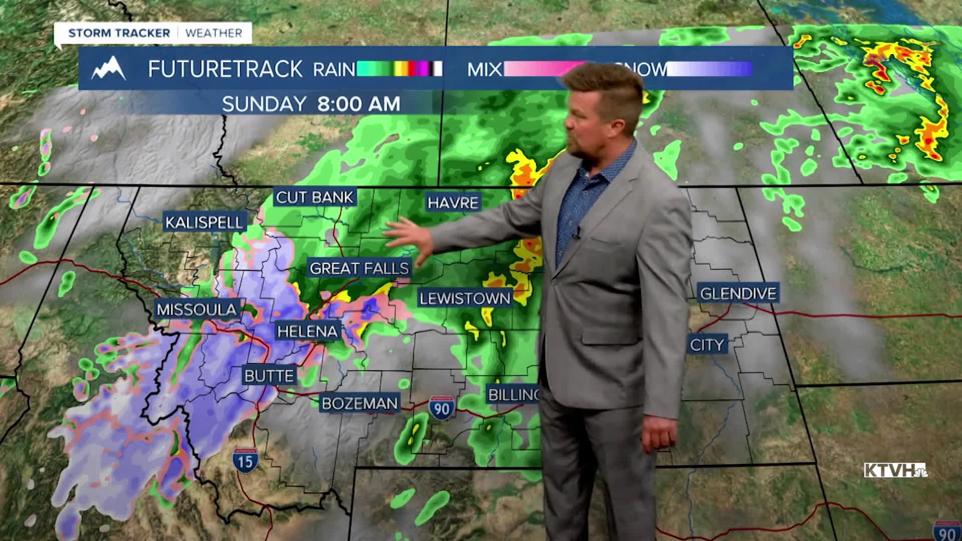


This weekend will have it all - sunshine, showers, thunderstorms, clouds, and even a little snow in the mountains. While this weekend will be unsettled at times, it will not be as wet and rainy as last weekend's record storm. Saturday will start partly sunny and warm with a few scattered thunderstorms developing in the afternoon. Highs will top out in the 70s and low 80s, with some low 90s in far eastern Montana. A slow moving cold front will push across the state through Sunday with more scattered showers and thunderstorms. Some snow could fly in the mountains above 5000' on Sunday morning. Some mountain passes will see snow but there should be little to no accumulation on the road surface. A few inches could accumulate in the mountains through the day. Sunday will start off a cloudy with those showers and some mountain snow, but some clearing is likely through the afternoon and evening. Highs will be cooler in the 50s and 60s with a strong wind through the afternoon and evening as the storm clears. Looking ahead well into June, the active weather will continue with more moisture and near average temperatures. This is great news that fire season does not look like it will start early, but please be careful anyway.
Have a great weekend,
Curtis Grevenitz
Chief Meteorologist
