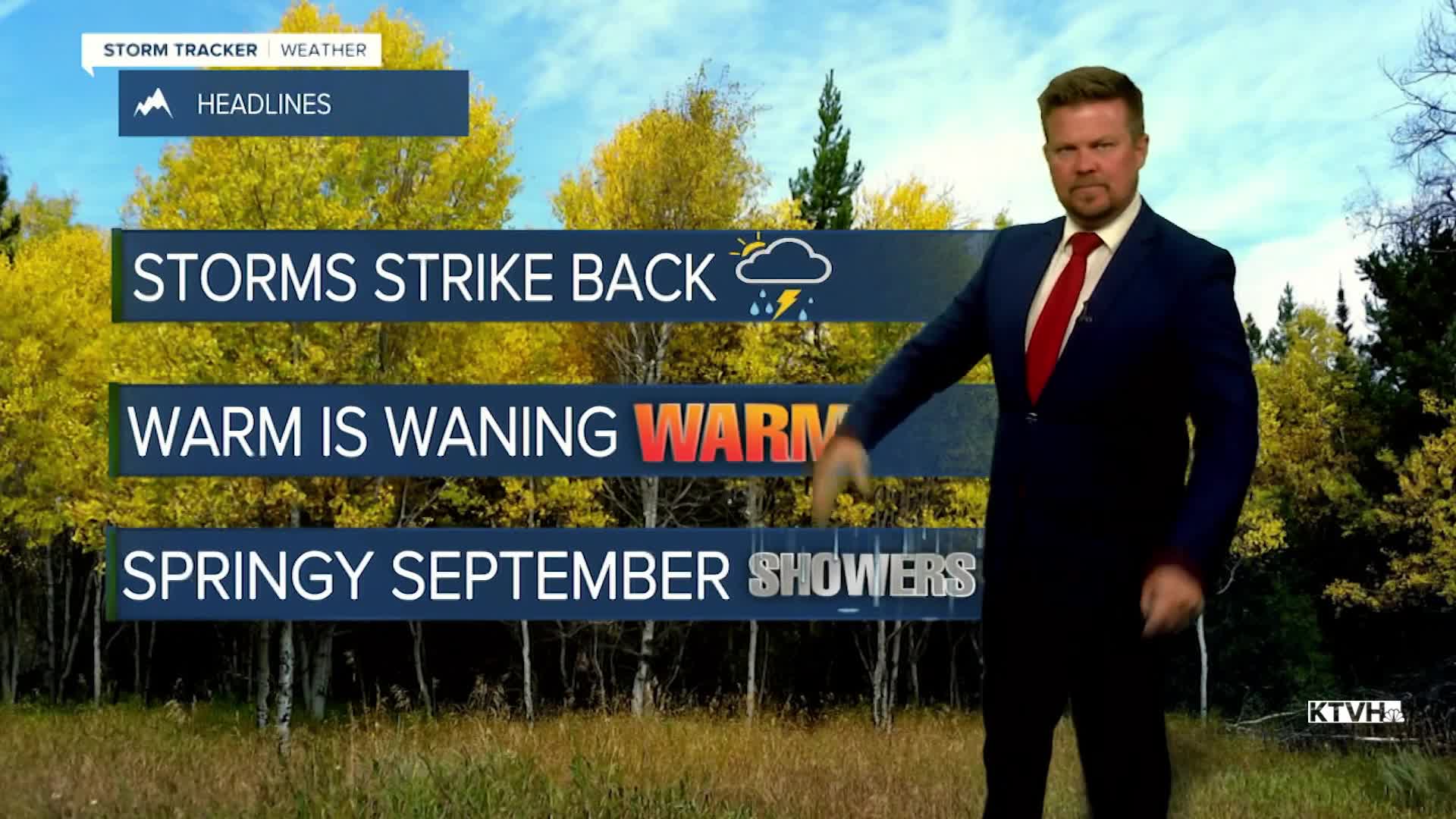


Scattered showers and thunderstorms are back in the forecast just about every day through the weekend into next week. A large, slow moving storm system is responsible for the wet weather. There will be some sun mixed in most days but the pattern will be showery and unsettled. September can be a very dry month. This moisture and storminess will continue to slowly clear out the wildfire smoke. Along with cooler temperatures, wildfires in Montana and the Pacific Northwest will continue to slow as well. Wednesday will be a partly cloudy and warm day with just a few isolated thunderstorms. A bit more moisture and energy will move into the state on Thursday with scattered showers and thunderstorms. Some storms could be on the stronger side. Highs will cool down a bit into the 70s. Friday will be partly cloudy with scattered showers and a few thunderstorms. Highs will be in the 70s. The weekend will be unsettled with a mostly cloudy skies and scattered showers with isolated thunderstorms on Saturday. Highs will be in the 70s. Sunday will be partly cloudy with isolated showers and thunderstorms. Highs will again top out in the 70s, close to average. Unsettled, showery weather continues next week, the final week of summer.
Have a great day,
Curtis Grevenitz
Chief Meteorologist
