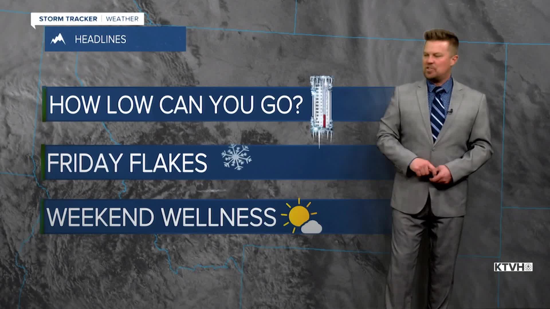


Not a three dog night, just a two dog night. Much of Montana will drop below zero into Friday morning with an arctic airmass in place. After snow, wind and active weather the last few days, high pressure will move in for clear skies. That combined with fresh snow on the ground will allow temperatures to get pretty chilly again into Friday morning.
Friday will be another partly to mostly cloudy day with areas of snow showers through the afternoon coming off the Continental Divide and Rocky Mountain Front. Highs will stay cold in the 10s and 20s. The snow should come to an end this weekend with high pressure moving back in. Saturday will be partly to mostly sunny with highs in the 10s to near 30. Sunday will be mostly sunny to partly cloudy with highs in the 10s across northeast Montana to low 30s farther southwest. Monday will be briefly warmer as a southwest wind pushes out the arctic air. Highs will be in the 30s and 40s under mostly cloudy skies. The wind could gust higher than 30mph across the plains and Continental Divide. Tuesday a cold front will work through the state with mixed rain and snow showers in the lower elevations, and some snow in the mountains. The precipitation will not be very significant but the wind gusts will. Some areas could have 50mph wind gusts. Wednesday will be mild and very windy with heavy snow showers over the mountains. Later Thursday night into Friday, the next cold front will move through with the next round of accumulating snow and falling temperatures. The rest of February into March should be active with numerous storms, bringing much needed precipitation, and the mountains should at least get typical snow for the time of year.
Stay warm,
Curtis Grevenitz
Chief Meteorologist
