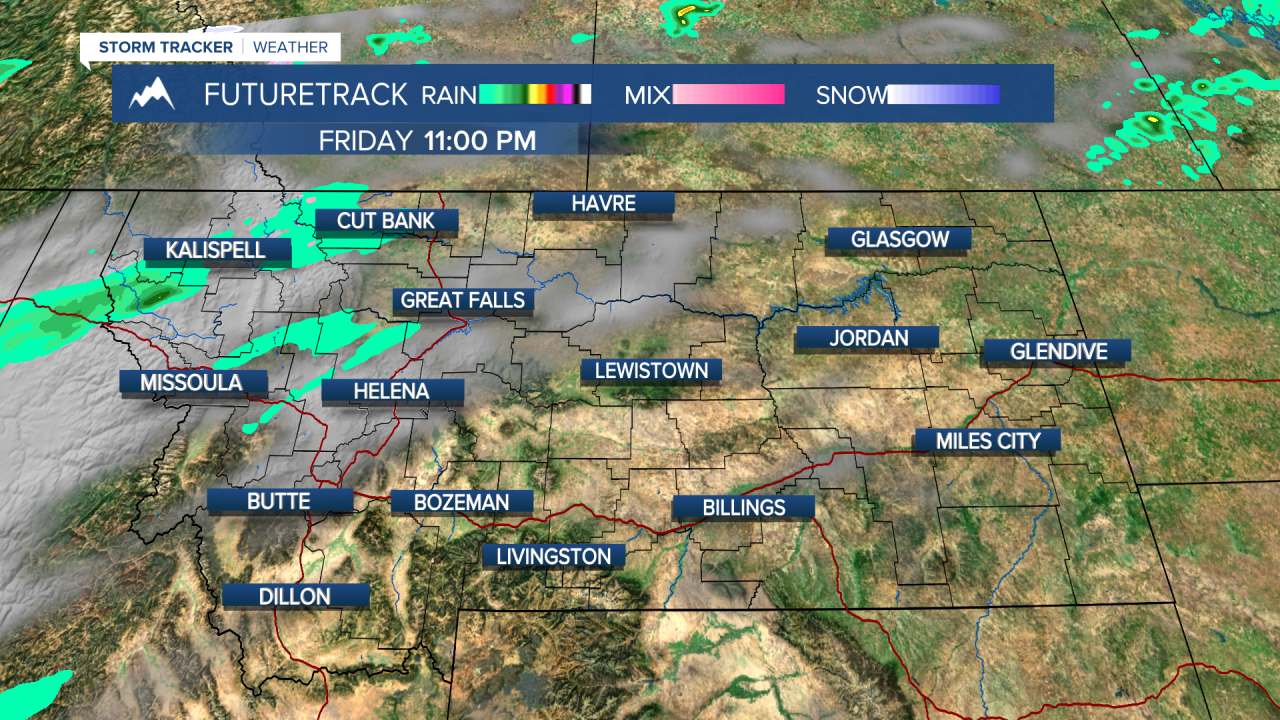
A developing storm will affect the state this weekend but it will not have a huge impact, just periods of light rain and higher elevation snow. Thursday was a beautiful fall day here across Montana, and Friday will be pretty pleasant as well. Highs will be in the 50s and 60s with partly cloudy skies but later in the day there will be increasing clouds. Highs will be in the 50s and 60s. A weak storm will move in for this weekend. Showers will develop on Saturday with some light snow in the mountains. Right now the snow levels look to stay above 6000', but several inches could accumulate in the higher terrain. Sunday will have showers and a few isolated thunderstorms, with some mountain snow especially across the southern areas. A few intervals of sunshine will be found up along the Hi-Line. Highs will be in the 50s and 60s, but a few places like Lewistown and Cut Bank could have highs only in the 40s. The mountains will see highs in the 30s and 40s. Wet, showery weather with mountain snow showers will continue into Monday. If you're headed up into the higher terrain this weekend be ready for cool, sloppy and slushy weather. The active pattern continues with strong wind on Tuesday. It's now looking like a ridge of high pressure will move in for warmer, windy and dry conditions into the first weekend of October.
Have a great day!
Curtis Grevenitz
Chief Meteorologist


