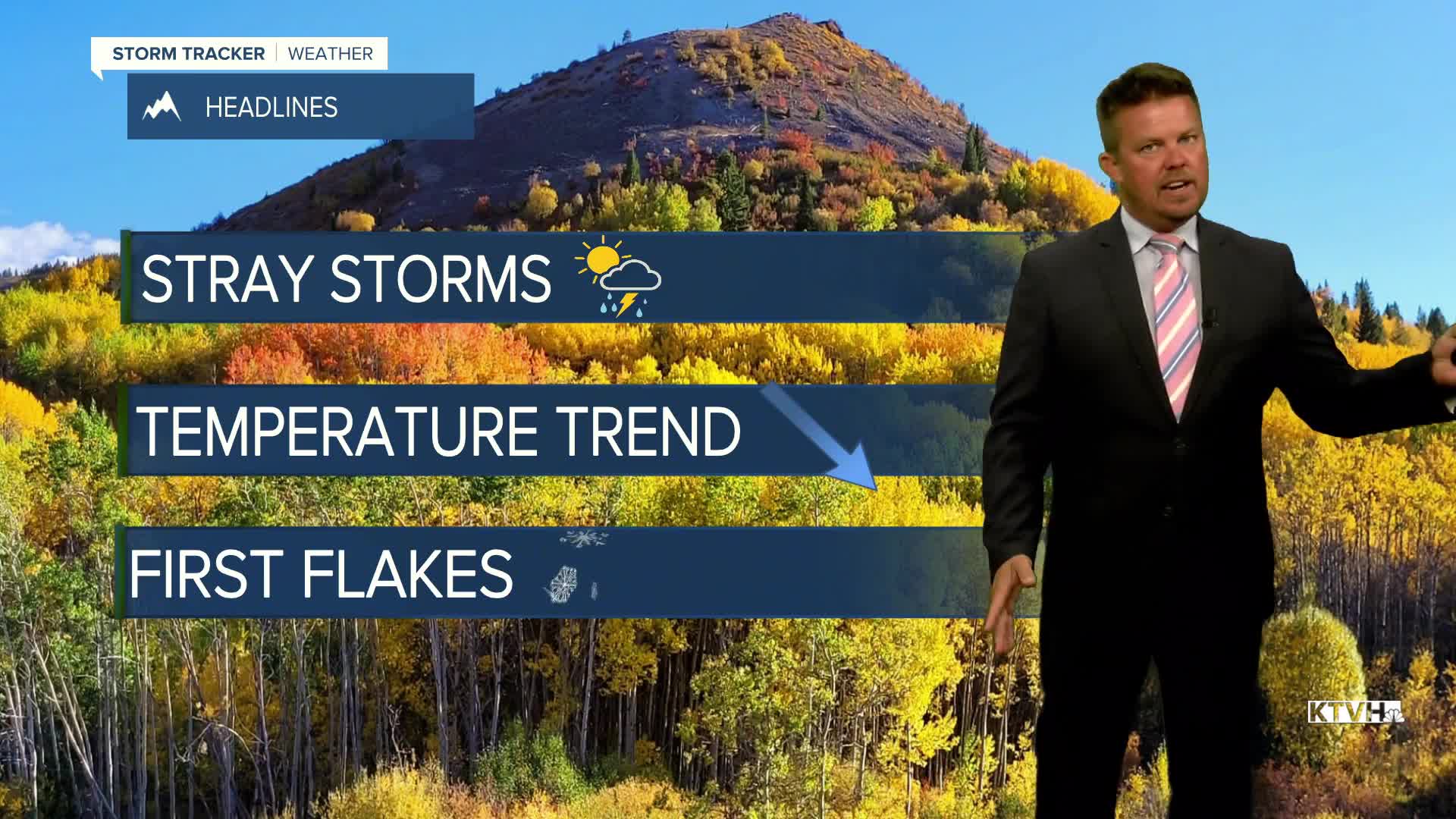


The calendar says autumn but the last few weeks have felt more like summer with warm temperatures, dry conditions, and even some wildfire smoke. Well things are about to change as cooler and wetter weather returns, and there might even be some snow over the first weekend of October. A large trough is moving into the West with showers, thunderstorms and high elevation snow. Clouds and storms developed across western Montana on Monday afternoon, signaling the changes coming. Tuesday will be partly to mostly cloudy with some scattered afternoon and evening showers and thunderstorms. Highs will still be above average in the 70s, with some 80s lingering across eastern Montana. Wednesday will be partly cloudy with an isolated shower or thunderstorm. Temperatures will again be warm in the 60s and 70s with some 80s farther east. Thursday will be partly to mostly cloudy with temps cooling off a bit, highs in the 60s and 70s, close to normal. Some showers are possible Thursday night into Friday. Central and southern Montana will be cloudy with some showers and higher mountain snow on Friday. Temperatures will range from the 50s south and central, to the 60s north where there will be more sunshine. This weekend is the first weekend of October. A cold front will likely come down from Canada late Saturday into Sunday. Snow will fly in the mountains with the possibility of snow down to some of the valleys and plains. A light accumulation is possible in the higher terrain. After a warm stretch, a little dose of reality is about to hit Montana.
Have a great day,
Curtis Grevenitz
Chief Meteorologist
