


A FROST ADVISORY has been issued for parts of Western Montana into Tuesday morning.
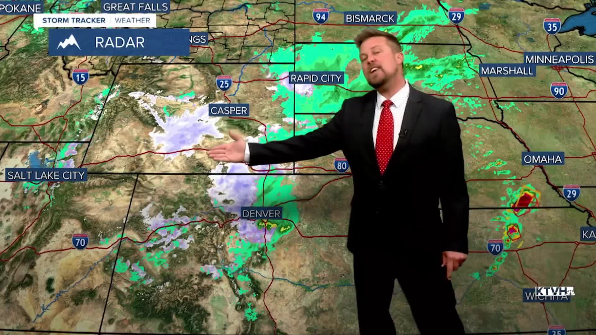
That was a cold and unsettled weekend with many areas seeing some snow and freezing temperatures, and some spots hitting record cold. The storm system responsible for the wet and white weekend weather is moving away but some cold air will remain. Many places should drop to near or below freezing into Tuesday morning. If you have sensitive plants and flowers in the ground, it would be wise to cover them up to protect from a killing frost. Most of Montana will have temperatures in the 20s and 30s tonight, and some of the normally colder spots could fall into the 10s. Tuesday will be a bit warmer and brighter, but scattered showers and isolated thunderstorms will develop in the afternoon. Highs will warm into the 50s and 60s. A sharp cold front will move through Montana on Wednesday with mostly cloudy skies, widespread showers and a few thunderstorms, and higher elevation snow. It will be cooler with temperatures in the 40s and 50s. A few wet snowflakes could mix in across some of the lower elevations Wednesday night into Thursday morning. That storm will move away on Thursday with a few lingering isolated showers but otherwise partly cloudy skies. Highs are back in the 50s and 60s. Friday will be a glorious day with mostly sunny skies and highs in the 60s and 70s. This weekend is Memorial Day Weekend. Most years, Montana gets rain and snow and cold temperatures for at least 2 out of the 3 holiday weekend days. This year looks warmer with just a few isolated showers and thunderstorms on Saturday and then again on Memorial Day Monday.
Have a great day,
Curtis Grevenitz
Chief Meteorologist
