


A HIGH WIND WARNING has been issued for some of the plains of Montana thorugh Tuesday evening.
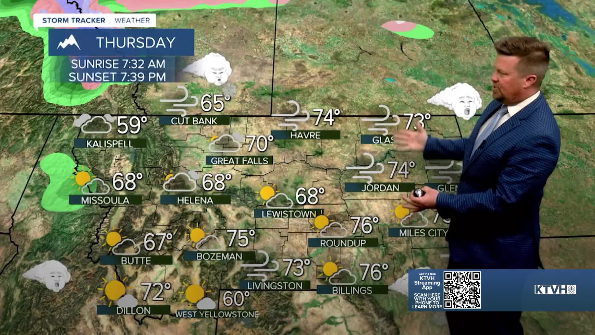
Mountain snowpack received a healthy shot in the arm and much of the state received significant moisture from the weekend storm. But all of that snow will be a distant memory as a big swing in temperatures will really warm up the state this week. Before the end of the week, most of Montana should warm into the 60s and 70s with a few new record highs. The warm weather will come with a lot of wind and very sloppy conditions until the snow melts. Flooding is not a major concern, but many creeks and streams should be running high as the snow melts. Tuesday will be mostly cloudy and mild with highs in the 50s and 60s. The wind will be strong across the Rocky Mountain Front and the plains. Some gusts over the plains could top 60mph, with the Rocky Mountain Front seeing gusts over 80. The Helena Valley will see a bit of an inversion with all of the snow on the ground, that should limit the warmup for the time being. A few isolated rain showers are possible in the western mountains. Wednesday will be windy and gettting a little warmer. Highs will mainly be in the 60s, but a few 70s are possible across far eastern Montana. Thursday will be a warm and windy day for most of the state. Unfortunately, the skies will likely stay mostly cloudy. Some areas in southwest and northeast Montana will have partly cloudy skies. Highs will top out in the 60s and 70s with a few records possible. Spring officially beings on Friday and the first day of the new season will be partly to mostly cloudy with highs in the 60s and 70s. The wind will once again be strong for most of the state. The next cold front will come through Montana on Saturday with showers in the lower elevations and a return of some light snow to the mountains. Highs will cool into the 40s and 50s. Sunday will be mostly sunny with lighter wind and highs in the 40s and 50s.
Have a great day,
Curtis Grevenitz
Chief Meteorologist
