


A RED FLAG WARNING is in effect for northeast Montana for Saturday afternoon.
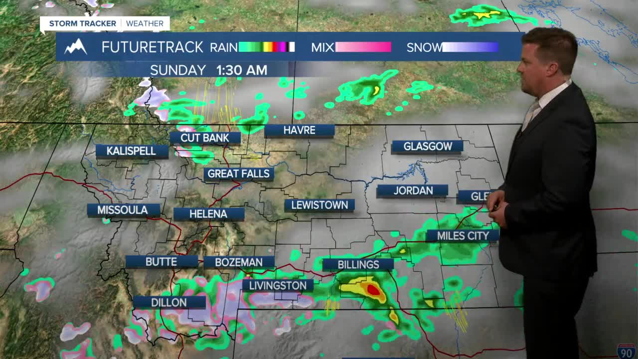
After a very warm Friday, unfortunately the nice weather will not continue for the first weekend of May. A cold front will work through the state with scattered showers and thunderstorms on Saturday, mainly over the southern half of Montana. Temperatures will not be terribly cold behind the front. Highs will be in the 60s and 70s, and there still will be high fire danger in eastern Montana. Strong wind gusts up to 40mph is likely through most of the state. Sunday will be a much cooler day with highs in the 50s. A mix of snow and rain is likely in the mountains and off the Rocky Mountain Front through the morning. Scattered showers will move through the rest of the state. While skies will start out cloudy, expect a little more sunshine through the afternoon. Monday will be a nice day with partly cloudy skies and highs around 60. Another low pressure will spread showers and some mountain snow on Tuesday. Precipitation will be light. Another warm-up is likely for Thursday and Friday, but a big spring storm with thunderstorms and rain changing to snow is possible next weekend. Looking ahead into the middle of May, there likely will be a few larger storms that could have a positive impact on the drought conditions.
Have a great weekend.
Curtis Grevenitz
Chief Meteorologist
