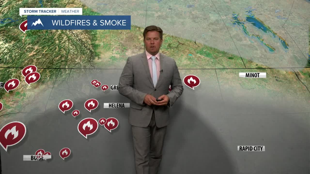


An AIR QUALITY ALERT is in effect for most of Montana into Wednesday afternoon.
The air is nasty out there, with many locations reporting thick enough smoke concentrations for it to be unhealthy to be outside exerting yourself for long periods of time. Scattered thunderstorms moving through the state Tuesday evening will not help clean out the smoke much, with air quality still at least "moderate". Thunderstorms and rain do act like a filter, however the southwest flow blowing smoke from California will continue through Wednesday. It likely will not be until Thursday that the state experiences cleaner air. Scattered storms will fire again on Wednesday afternoon for central and southern areas. An isolated storm might make it as far north as Great Falls. Highs will be in the 80s with continued smoke and haze. Thursday a cold front will move through the state with a switch to a northwest flow. This will likely push much of the smoke down to the south. Look for clearing from northwest to southeast from the morning into the afternoon. A few thunderstorms are likely closer to Interstate 90, with sunshine farther north. Highs will be in the 70s and 80s. Friday will be a beautiful summer day with sunny skies, cleaner air and comfortable temperatures in the 70s and 80s. Saturday will have extremely high fire danger with low humidity, highs near 90 and strong west wind. Another cold front will move through Montana on Sunday morning with cooler temperatures, higher humidity, mostly cloudy skies, scattered rain showers and high mountain snow. This system coming in from the northwest will further suppress the smoke down to the south. Scattered showers and cooler highs in the 60s and 70s will continue on Monday. Fire season is far from finished, but this is the beginning of the end. A series of cooldowns, showers and mountain snow are likely into the second week of September.
Have a great day.
Curtis Grevenitz
Chief Meteorologist
