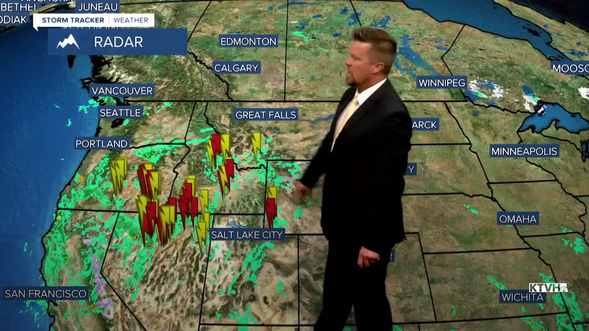


There will be showers, thunderstorms and mountain snow this weekend, but some sunshine and warm-ish temperatures as well. There will be intervals of sunshine and great weather to be outside in, but there will also be storms that could have you running for cover. This weekend will start great on Saturday but widespread showers and thunderstorms will pop over southwest Montana in the afternoon and spread northeast. Most areas will get hit. Highs will warm into the 60s and 70s before the storms. Sunday will have some sunshine early, but clouds will increase again with widespread showers, isolated thunderstorms, and some high mountain snow through the afternoon and evening. Highs will be cooler in the 40s and 50s. There is potential for lowering snow levels through Sunday night into Monday. Some snow could accumulate in the lower elevations as the storm moves away. Monday will be another mostly cloudy, showery and cool day. More storms are lined up for Wednesday into Thursday, and possibly next weekend. Storm systems continue to bring good moisture to the state, with at least average precipitation through the end of the April. Colder temperatures will produce some snow in the lower elevations, and the mountains could see significant accumulations through the end of the month.
Have a great weekend,
Curtis Grevenitz
Chief Meteorologist
