AN EXCESSIVE HEAT WATCH remains in effect from Sunday afternoon through Wednesday evening for Hill, Chouteau, Blaine, and Fergus Counties.
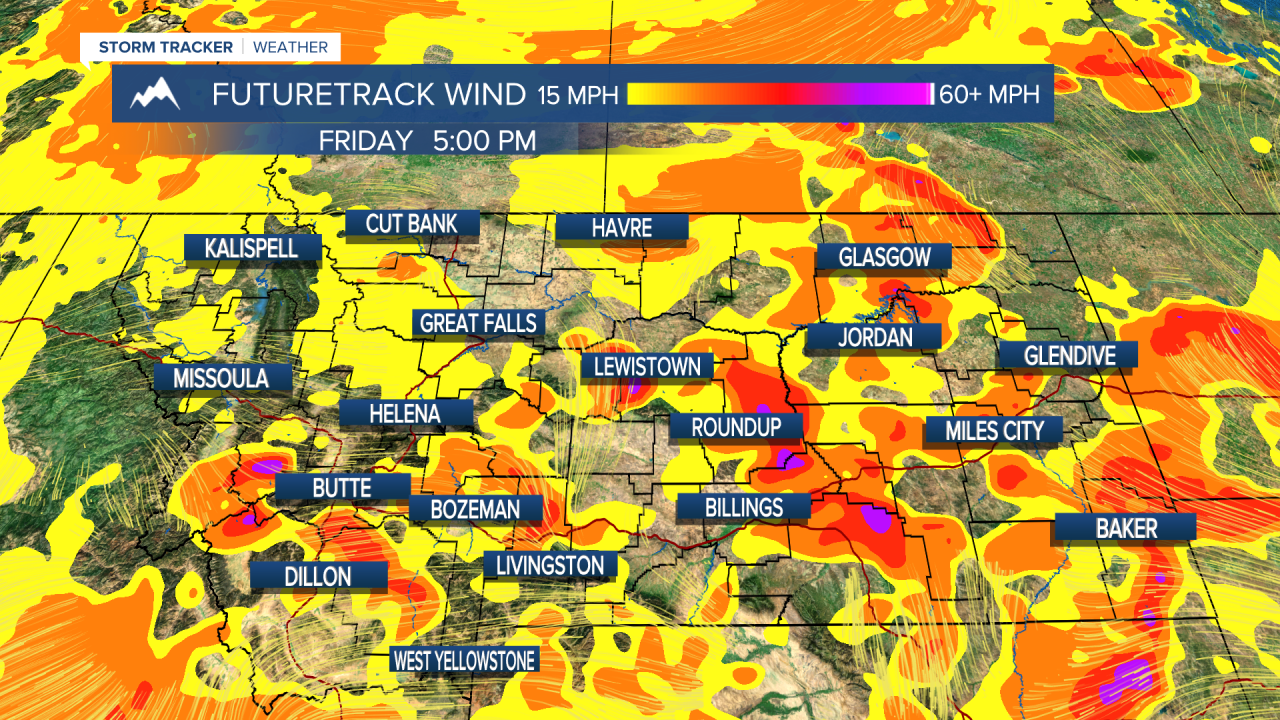
Friday will be similar to Thursday's conditions; hot, hazy, smoky, with a chance for a few thunderstorms. Another weak disturbance will allow a few showers and thunderstorm activity to move in during the afternoon/evening. The biggest threat will be wind and lightning. The high temperatures will spend another day in the 80s and 90s. A few locations in eastern Montana highs will climb into the triple digits.
If you thought the last few days were hot, this upcoming weekend into the beginning of next week will feature excessive heat. The National Weather Service has put in place an Excessive Heat Watch for parts of eastern Montana, and portions of north-central Montana. The highs will range from the 90s to triple digits. Sunday will be the hottest day of the week; records could possibly fall across the state. Wildfires burning regional and local will continue to contribute to hazy skies, which could ultimately hold the temperatures back a bit. Speaking of wildfire smoke, the air quality around the state will continue to deteriorate. If you have any plans this upcoming weekend, please be sure to check the Montana Department of Environmental Quality for air quality updates.
Enjoy your weekend.
A.R. 😊


