



An AIR QUALITY ALERT is in effect for parts of Montana west of the Continental Divide.
A FIRE WEATHER WATCH has been issued for Thursday afternoon and evening for northeast Montana.
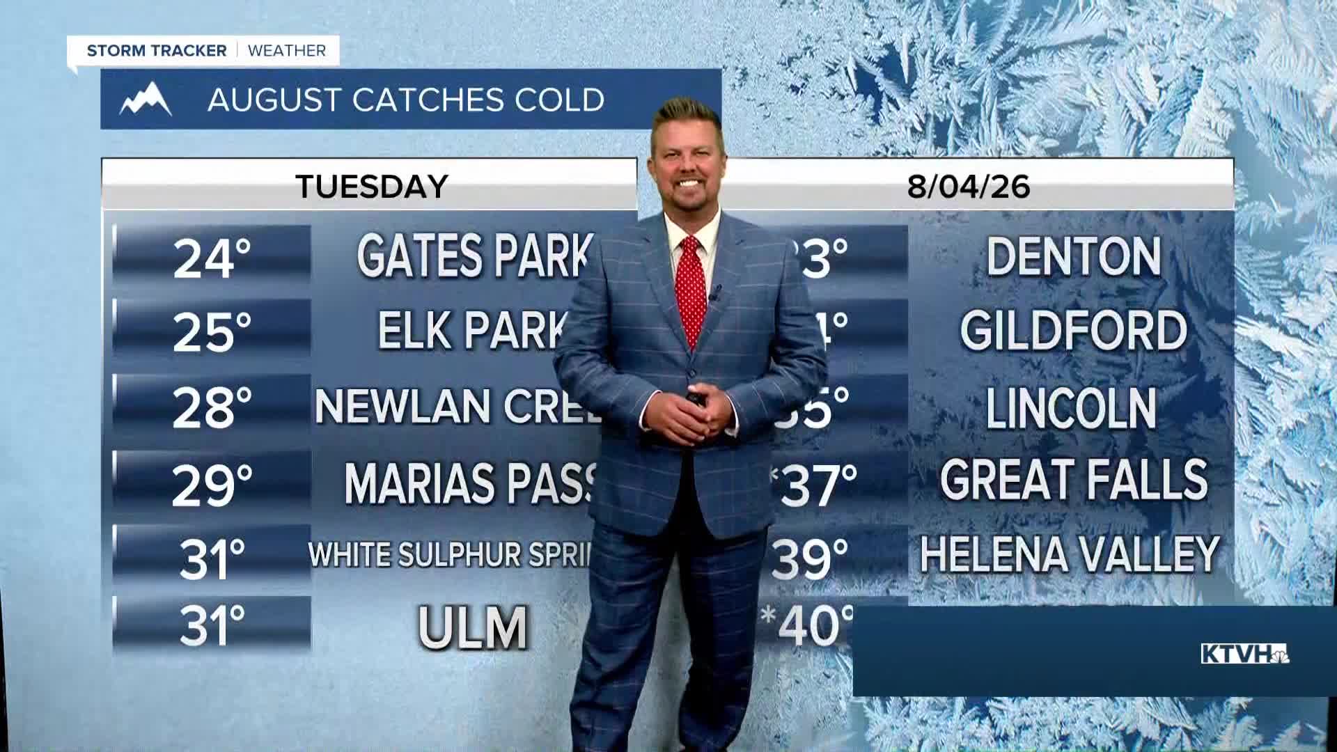
Well that was chilly! Tuesday started out with temperatures in the 20s, 30s and 40s across most of Montana, with some places setting new record lows. Great Falls and Havre set new record lows, and some areas of Montana had freezing temperatures just a few days after the worst wildfire danger of the summer so far. Temperatures will be cool again Wednesday morning, but afternoon highs will be on the increase back to more typical early August levels. Air quality remains "GOOD" to "MODERATE" for most of Montana. There's a lot of summer, heat and wildfire season to go. However, I don't think there will be another couple of days that were quite so bad as last weekend. Wednesday it's back to normal with sunshine and highs in the 80s. The air quality will slowly deteriorate later this week as smoke slowly works back into Montana especially on Thursday. Thursday will be a warm summer day with highs in the 80s and low 90s. The wind will be stronger across northeast Montana, which is why a FIRE WEATHER WATCH has been issued there. Friday will be hot and breezy with higher fire danger. It's likely that some of Montana's wildfires will grow and emit more smoke. Highs will be in the 80s and 90s with a wind gusting up to 25-30mph in the afternoon. Saturday will be hot as well with highs in the 80s and low 90s, but the wind will ease up some. Sunday will be partly cloudy with highs in the 80s to near 90. Overall, the weather should be somewhat cooler than the last 3 weeks. There still is a lot of summer left, but hopefully the worst heat and fire danger are behind us.
Have a great day,
Curtis Grevenitz
Chief Meteorologist
