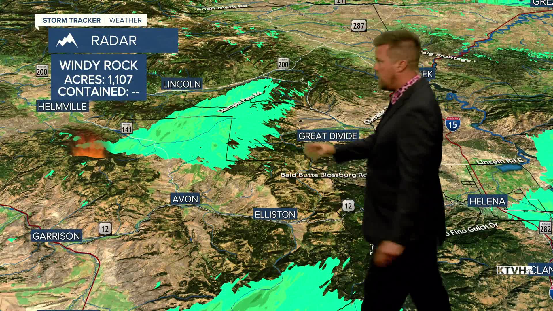


After a spell of hot and windy weather which allowed some wildfires to take off, cooler and calmer conditions will build into Montana for an extended period. Wildfires have been active and wildfire smoke will be visible through Wednesday night into Thursday. A cold front will move through the state by Thursday morning with much more refreshing air will be moving in. Thursday will be mostly sunny with highs in the upper 70s to mid 80s. Canadian high pressure will build into the state for Friday and the weekend. Friday will be comfortable cool for summer with below average highs in the 70s to around 80. Overnight lows will be in the 30s and 40s. Saturday will be gorgeous with highs again in the 70s to low 80s. Sunday will be a little warmer with highs in the upper 70s to mid 80s under mostly sunny skies. The wind will be light through the weekend. This pattern of warm temperatures, mostly sunny skies and light wind will continue through most of next week. While very little to no precipitation is in the forecast, the cooler and calmer conditions should at least not deter firefighting efforts.
Have a great day,
Curtis Grevenitz
Chief Meteorologist
