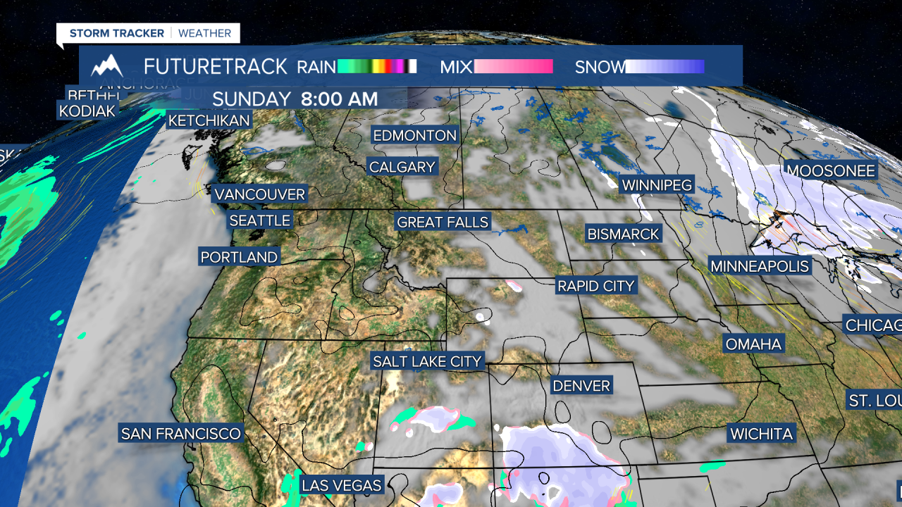
St. Patrick's Day weekend will be absolutely gorgeous with sunshine, warmer temperatures and light wind. It's not until later in the week that we get "shamrocked" by a big storm. A rex block weather pattern will persist through the holiday weekend and into the start of spring with above average temperatures, mostly sunny skies and light wind. I joke around a bit and personify Rex Block, but it is a common blocking pattern in weather. With a high pressure to the north of a low pressure, this setup is a stagnant one. Sometimes you're in the low pressure part of a rex block where stormy weather lingers for days. Other times you're stuck in the high pressure part of the block with usually comes with prolonged pleasant weather of sunshine, mild temperatures and little wind. This is the part Montana will be "stuck" with. This weekend is the final weekend of winter officially and a weak cold front will pass through on Saturday with partly to mostly cloudy and a few isolated showers over eastern Montana. The western half of Montana will be mostly sunny. Highs will be in the 40s and 50s. Sunday is St. Patrick's Day and by the luck o' the Irish, it will be a beautiful day with sunshine and highs in the 50s to near 60. Far eastern Montana will be a little cooler with highs in the 40s. The first day of Spring is Tuesday, which could begin with one of the warmest days so far in 2024. Changes back to a stormier stretch will begin on Wednesday. Showers and thunderstorms along a cold front will move through on Wednesday, and behind the front on Thursday it's likely widespread snow falls across the state. The final weekend of March is looking much colder with a chance of snow.
Happy St. Patrick's Day!
Curtis Grevenitz
Chief Meteorologist


