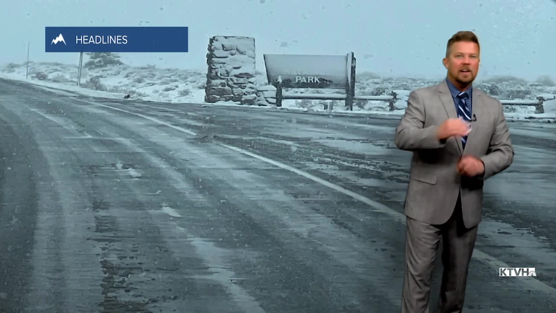


It feels like winter across Montana with snow showers, chilly temperatures and even colder wind chills. This will continue through Friday, but the weekend will be VERY different. Some heavy snow showers will continue through this evening, especially in the mountains and along the Continental Divide and Rocky Mountain Front. Mountain passes could have difficult travel with reduced visibility and snow covered roads. Thursday night will be cold with lows in the 10s and 20s. Friday will be mostly cloudy with scattered snow showers over the mountains, and some mixed rain/snow showers in the lower elevations. Highs will only warm into the 30s and 40s. The weekend weather will be much, much nicer as high pressure moves in. After a brisk and chilly start, Saturday will be mostly sunny with highs in the 50s to around 60. Sunday will be mostly sunny as well with highs in the 60s to even near 70. The entire weekend will be dry, something we deserve after a couple of stormy spells. Warm, dry and sunny weather will continue early next week. The next spring storm should arrive late next week.
Have a great day,
Curtis Grevenitz
Chief Meteorologist
