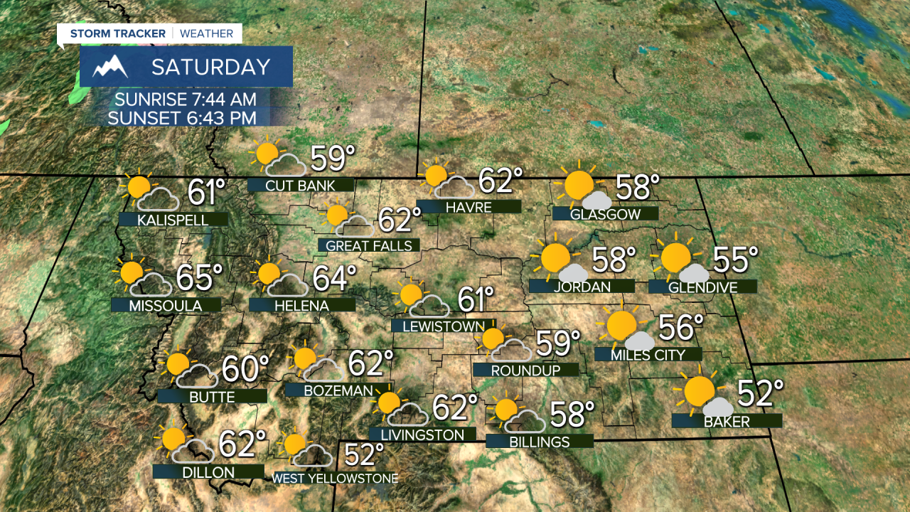
While much of the state saw minor effects such as clouds and light rain from this storm, there were areas that saw inches of rain and feet of snow in Montana. Red Lodge Ski Area and the Beartooth Mountains saw a couple feet of snow. The bulk of the precipitation has fallen but light rain, drizzle and some snow will continue. This stubborn storm will keep clouds and a few rain/snow showers around through Friday morning. Slow clearing will take place through the afternoon and evening, highs will top out in the 50s. Great timing with the clearing of this storm as a solar eclipse will happen on Saturday morning. Saturday will be partly cloudy, and with as much as 70% of the sun being blocked by the moon, the light through the morning hours will be dim. The eclipse will occur between 9:00am and noon with peak eclipse happening at about 10:26am. The rest of Saturday will be partly cloudy with highs in the 50s and 60s. Sunday will be partly to mostly cloudy and a little warmer with highs in the 60s. The next storm arrives on Tuesday with scattered showers and thunderstorms. Another warmup is possible late in the week into the 3rd weekend of October.
Have a great day!
Curtis Grevenitz
Chief Meteorologist


