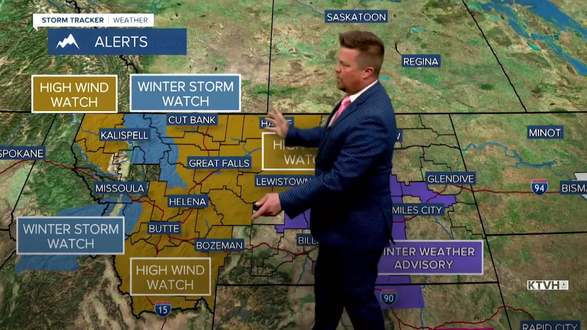


A HIGH WIND WATCH has been issued for most of central and western Montana for Wednesday through Thursday.
A WINTER STORM WATCH has been issued for the Rocky Mountain Front and the Glacier area for Wednesday through Friday.
Buckle up because the weather this week will be wild with more potentially damaging wind, temperature fluctuations, rain and very heavy snow. An atmospheric river is headed from the Pacific to Montana and the northern Rockies. Copious amounts of moisture will hit the Treasure State and there will be significant temperature differences and fluctuations. And that wind will continue to be terrible at times with power outages and property damage possible if not likely. Initially, a chilly airmass is in place. Tuesday will be partly cloudy with widespread snow showers across the state. It will be windy, but not brutally windy. Gusts will top out around 40mph. Thus, it will be cold as highs only top out in the 30s to around 40. A couple of inches of snow could accumulate in the mountains. The lower elevations could see a coating up to an inch or so in some isolated heavier snow showers. The atmospheric river will begin moving in on Wednesday. Most of the state will turn mostly cloudy. Temperatures will slowly warm up with highs in the 40s. The wind will increase through the day, with some gusts topping 50-60mph by late afternoon. There will be heavy snow developing in the mountains and on the Rocky Mountain Front. Downsloping from the Continental Divide should keep areas just east of the Divide dry. Some light snow, possibly mixed with rain is possible across north-central and eastern Montana with little to no accumulation. Temperatures will warm through Wednesday night into Thursday. Thursday will have some highs in the 50s and 60s south, with 30s and 40s north. A cold front will move south with powerful wind and some rain changing to snow. The moutnains will continue to see very heavy snow. The atmospheric river will bisect the state on Friday with snow and cold up north, but mild and showery weather farther south. Heavy snow will continue in the mountains. A cold front will move south through the state on Friday night into Saturday with all areas picking up snow. Saturday will be a wintry day with highs in the 10s and 20s, and wind blowing around the snow. Several inches will fall in the lower elevations. By this time, several FEET of snow will accumulate in the mountains. A slight shift in this approaching atmospheric river could mean a significant change to the forecast. If the atmospheric river goes a little farther north, more of the precipitation will be rain. If the atmospheric river goes a little farther south, it means more snow. Right now, the Hi-Line looks to get more snow than the I-90 area. Stay tuned, this will be a wild weather week.
Curtis Grevenitz
Chief Meteorologist
