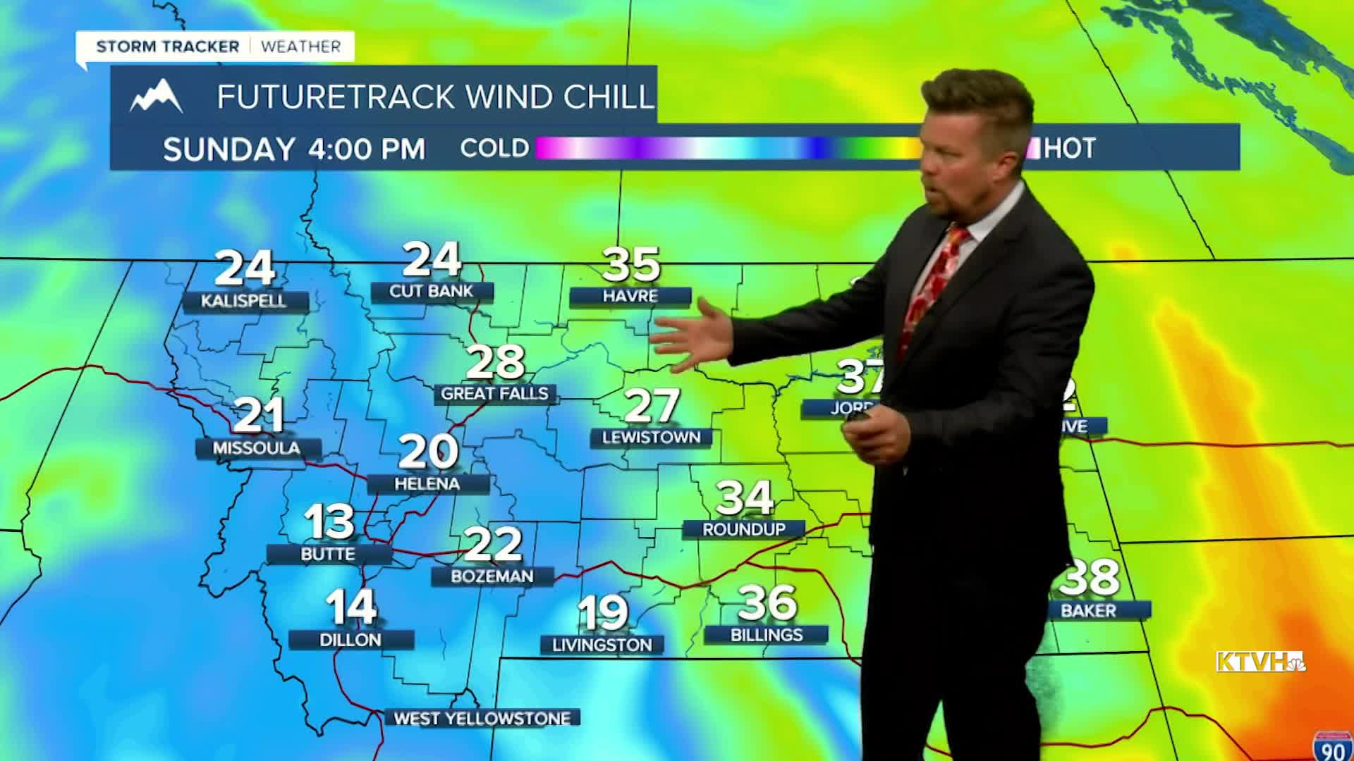


It was nice while it lasted. After several days of sunshine and warm temperatures, temperatures will tumble with strong wind late this weekend. A large storm out in the Pacific will deliver increasing wind, scattered showers of rain and snow, with a powerful wind. This weekend is the opening of general hunting season in Montana, and those heading into the mountains should prepare for chilly weather with stronger wind especially on Sunday. But before the weekend, there's one more nice day. Friday will be partly cloudy and warm with highs mainly in the 60s to around 70. Southwest wind will increase across the plains once again. This coming weekend will be unsettled as two fronts will move through the state. Saturday's front will bring more wind and showers closer to the Continental Divide later in the day. Highs will reach the 50s to around 60, wind could gust higher than 40mph. Sunday will be colder with highs in the 40s and 50s, cold enough for some snow in the mountains and a mix of rain and snow showers in the lower elevations. Right now, any snow accumulation will be confined to the mountains. This does not appear to be a powerful storm, but anyone heading into the mountains this weekend should prepare for chilly and damp conditions. Cool, blustery weather will continue early next week but not major storms are on the horizon at this time. Although, strong wind should continue for most of next week especially across the plains and over the Continental Divide.
Have a great day,
Curtis Grevenitz
Chief Meteorologist
