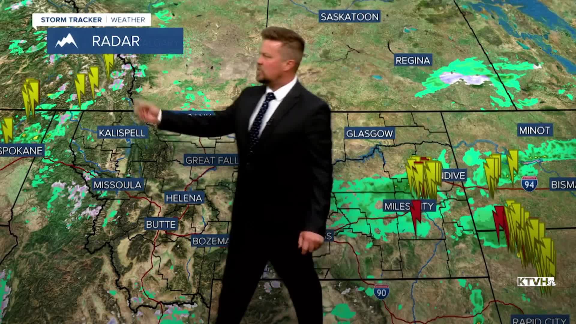


The next storm to hit Montana this week will be a colder one, with some showers and thunderstorms followed by lowering snow levels and a spring chill. It's an April storm for Big Sky Country. After a stormy weekend and unsettled start to the workweek, Tuesday will be a fairly pleasant day with mostly sunny to partly cloudy skies. There will be a chilly breeze of up to 30mph, with highs topping out in the 50s to around 60. A couple of showers are possible in the mountains. The next storm moves in on Wednesday with mostly cloudy skies. Showers and a few thunderstorms will develop through the afternoon and continue into the evening. Highs will top out in the 50s and 60s, but a sharp cold front moving through in the evening will bring snow levels down to the valleys and plains. Most of the accumulating snow will be in the mountains, but some of the lower elevations could wake up to a coating of snow by Thursday morning. Thursday will be a chilly day with highs only in the 30s to around 40. Under mostly cloudy skies, snow showers will fly across most of the state. The mountains will see a few additional inches of accumulation. Thursday night will be cold with lows in the 10s and 20s. Friday will be partly cloudy with scattered snow showers over the mountains, and some mixed rain/snow showers in the lower elevations. Highs will only warm into the 40s. The weekend weather will be a little more "settled" as high pressure moves in. Saturday will be mostly sunny with near average highs in the 50s. Sunday will be mostly sunny as well with highs in the 60s. The entire weekend will be dry, something we deserve after a couple of stormy spells.
Have a great day,
Curtis Grevenitz
Chief Meteorologist
