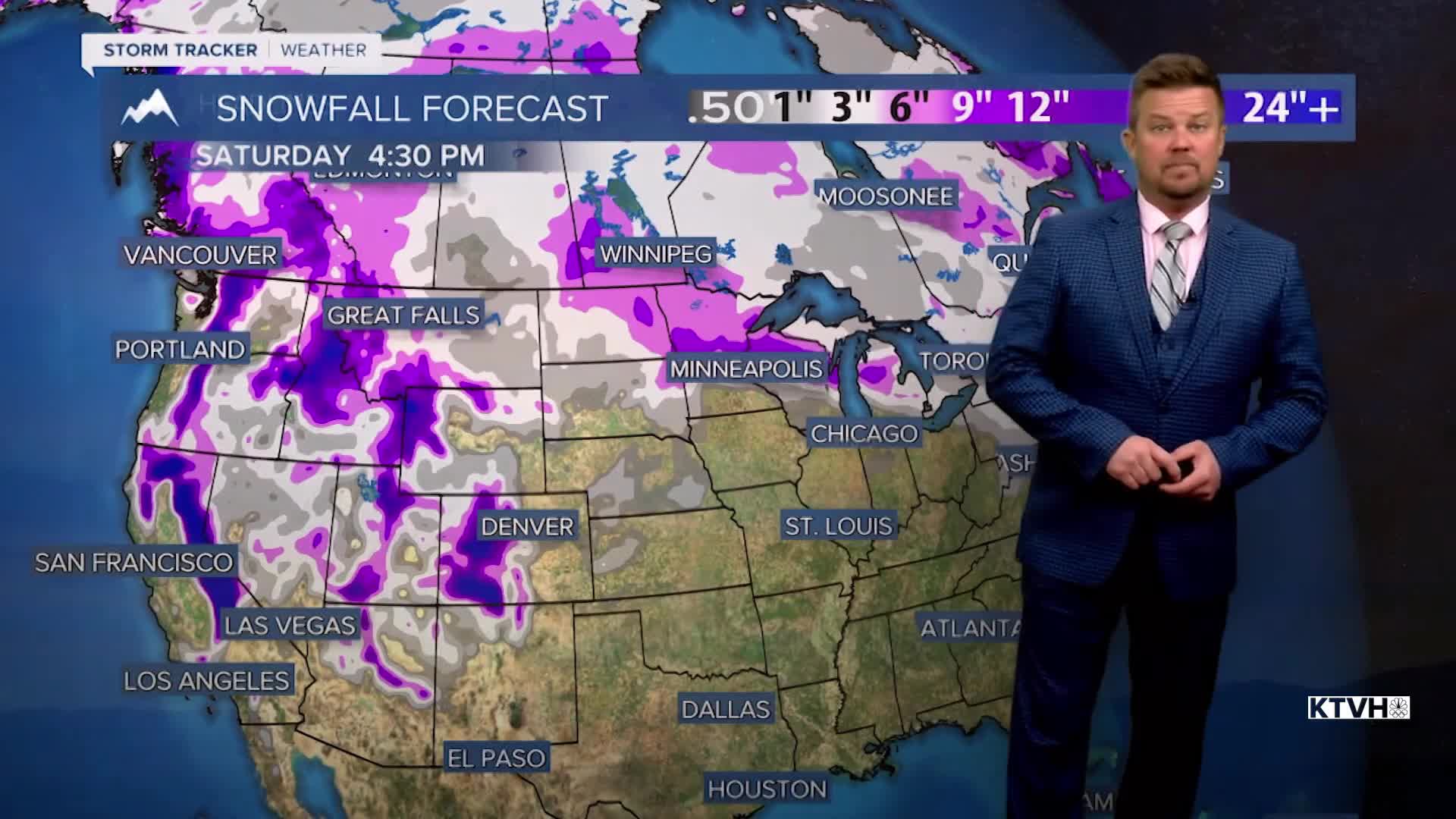


Parts of Montana got a good little snow this week, but most of the state should look and feel much different by next week. Valentine's Day is coming, Presidents' Day is coming, and finally some snow is coming mainly after the holiday weekend. Friday will be partly to mostly sunny with highs in the 40s to near 50. Saturday is Valentine's Day and the weather looks partly to mostly cloudy with highs in the 40s and low 50s with dry conditions east of the Continental Divide. There will be snow in the western mountains through the day. Sunday will be mostly cloudy with an outside chance at a few flakes or drops. There will be snow up on the Rocky Mountain Front and in the western mountains again, but most of the state will be dry with highs in the 40s to around 50. Monday is looking mild and dry but starting Monday night into Tuesday there is a chance of snow and colder temperatures. The final two weeks of February will be colder with a chance of widespread accumulating snow. After a dry and warm January, February could end with average temperatures and above average precipitation.
Have a great day,
Curtis Grevenitz
Chief Meteorologist
