


A FLOOD WARNING continues for Swiftcurrent Creek near Many Glacier through Wednesday afternoon.
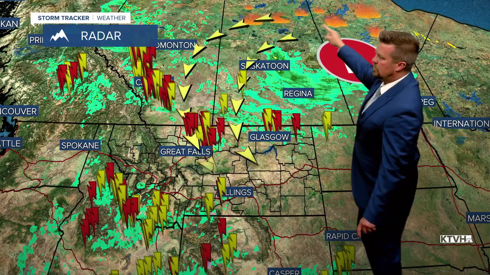
While the big, record breaking rain and mountain snow storm continues to move away, it's leaving thunderstorms and Canadian wildfire smoke in its wake. FLOOD WARNINGS for Glacier National Park have been reduced to just the Many Glacier area as the high water is beginning to recede. Many of the rivers and creeks in the state are running very high and will continue to be full over the next few days. There are and will be scattered thunderstorms the next few days. The departing storm has also drawn Canadian wildfire smoke from northern Manitoba and Saskatchewan into Montana, with some areas experiencing MODERATE air quality. The air quality should improve as that storm continues to slowly move away. Wednesday is July 1st, and the new month will start out partly cloudy with some scattered showers and thunderstorms. Highs will top out in the 70s to near 80. Thursday will be partly to mostly sunny with a few isolated thunderstorms, meaning most areas will be dry. Highs will warm to around 80. Friday will be partly cloudy with a few scattered showers and thunderstorms in the evening. Any storm should be brief as it passes but northeastern Montana will have some big, bad thunderstorms late in the evening. It's Independence Day Weekend and it's looking sunny, dry and warmer. It's exactly what we deserve. Highs will warm into the 70s and 80s. There might, might be an isolated storm on Sunday but most areas will have a dry holiday weekend. Some heat in the 80s and 90s will move in for Monday and Tuesday of next week, along with a few thunderstorms. The heat does not appear to build or linger for long, as some cooler air will move back in later next week.
Have a great day,
Curtis Grevenitz
Chief Meteorologist
