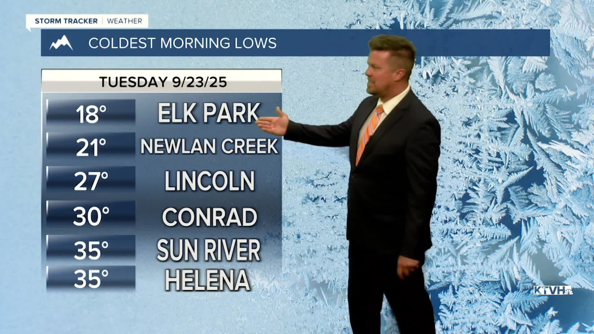


After one of the coolest mornings in a while, temperatures will be climbing to above average levels through the week and this coming weekend. It's an unusually warm stretch for this time of year, and a few record highs are possible across the plains of north-central Montana over the next few days. Warm days and cool nights should bring out some great fall foliage color, but don't forget about the fire danger as this dry, warm and sometimes windy pattern sticks around. Wednesday will be warm with highs in the 70s and 80s under sunny skies. A few locations like Fort Benton and Loma could top 90. An afternoon breeze will pick up along the Continental Divide and the Rocky Mountain Front. Thursday will be mostly sunny, warm and breezy with highs in the 70s and 80s. A weak front will move through on Friday with some wind and cooler highs in the 70s. Temperatures will come right back up for the first weekend of autumn. Saturday and Sunday will have highs in the 80s under mostly sunny skies. Some showers and thunderstorms are likely to return early next week into the start of October.
Have a great day,
Curtis Grevenitz
Chief Meteorologist
