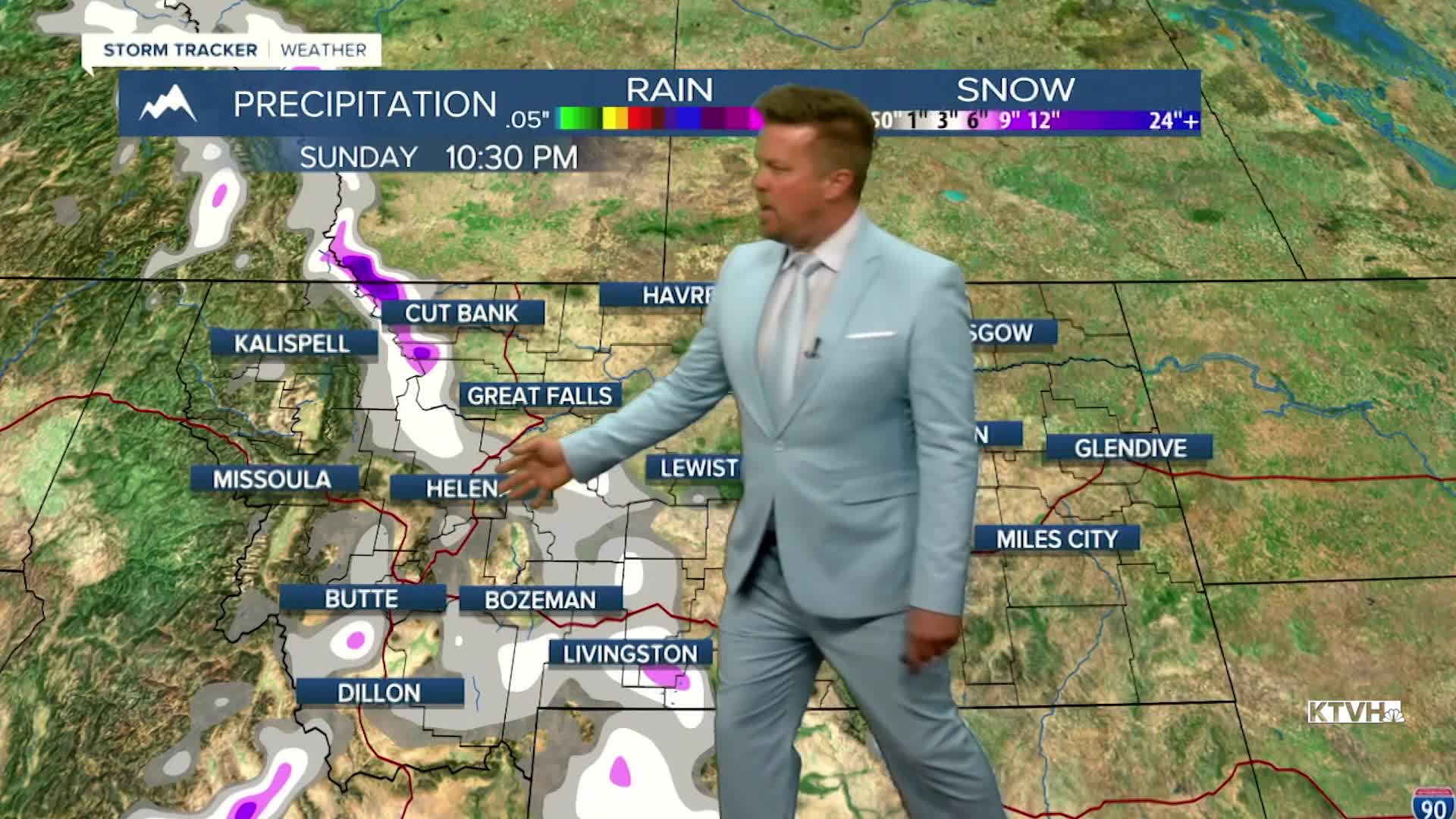


The first snow of the season for some of the lower elevations is possible this weekend. Last weekend was summery and smoky, this coming first weekend of October will feel more like fall in Montana. Wednesday will be partly cloudy with an isolated shower or thunderstorm. Temperatures will again be warm in the 60s and 70s with some 80s farther east. Thursday will be partly to mostly cloudy with temps cooling off a bit, highs in the 60s and 70s, close to normal. Some showers are possible Thursday night into Friday. Central and southern Montana will be cloudy with some showers and higher mountain snow on Friday. Temperatures will range from the 50s south and central, to the 60s north where there will be more sunshine. This weekend is the first weekend of October. A cold front will likely come down from Canada late Saturday into Sunday. Snow will fly in the mountains with the possibility of snow down to some of the valleys and plains. A light accumulation is possible in the higher terrain. The lower elevations will likely not have any accumulation but many areas will see their first flakes of the season. The storm will clear later Sunday with drier and warmer conditions returning Monday and Tuesday.
Have a great day,
Curtis Grevenitz
Chief Meteorologist
