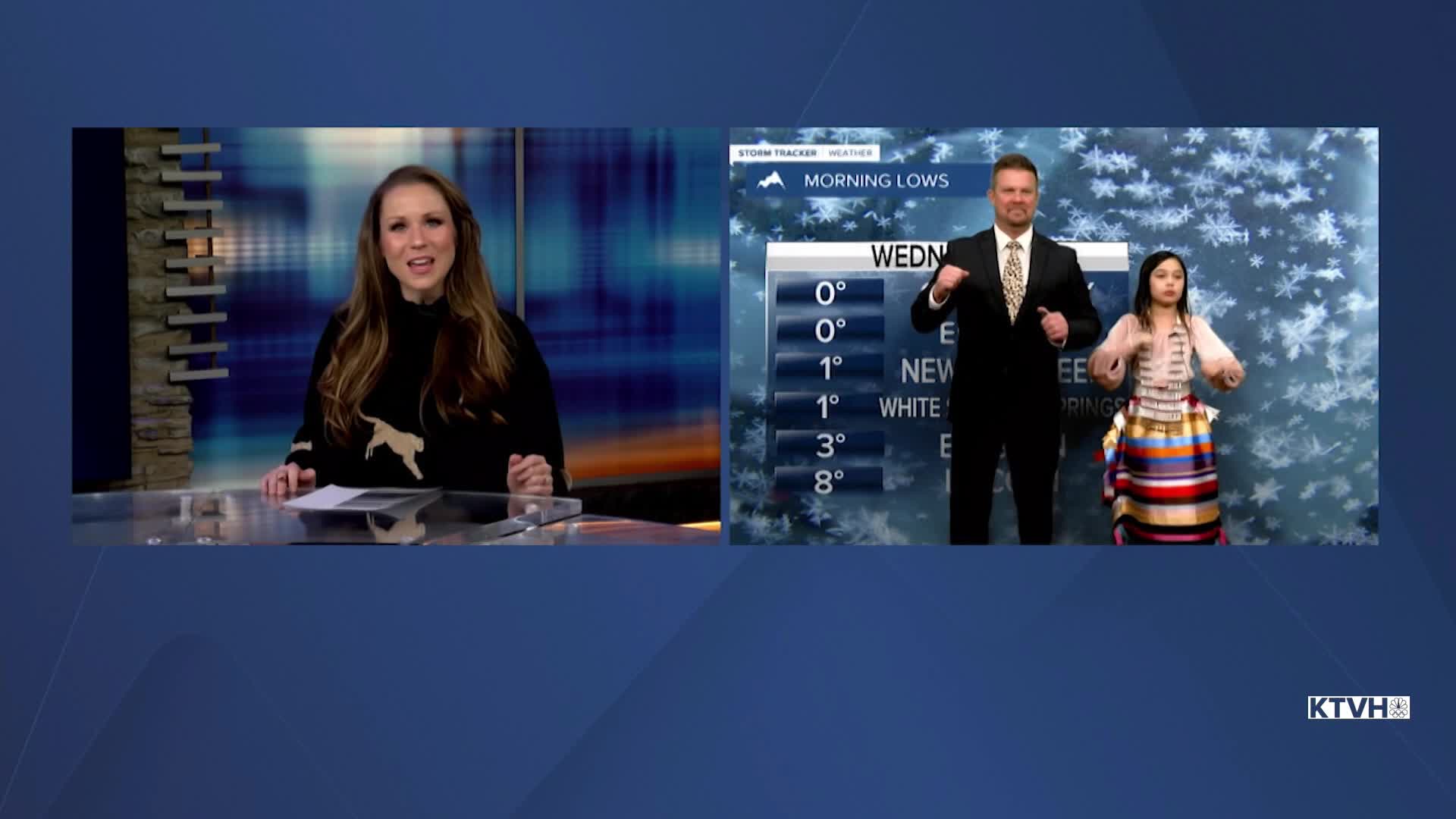


Wednesday morning temperatures were more typical for this time of year, after what was a very mild and dry January. After some snow, it looks and feels a little more like winter. But this is not terribly harsh winter weather for Montana. Even the lows near 0 this morning are not a surprise for this time of year. The rest of the week will be dry and mild. The abundant sunshine will continue for the next few days. Thursday and Friday will be partly to mostly sunny with highs in the 40s to near 50. Saturday is Valentine's Day and the weather looks mostly cloudy with highs in the 40s and low 50s with dry conditions. A stray snow shower is possible in the mountains. Sunday will be mostly cloudy with an outside chance at a few flakes or drops. Overall most of the state will be dry with highs in the 40s to around 50. Monday is looking mild and dry but starting Monday night into Tuesday there is a chance of snow and colder temperatures. The final two weeks of February will be colder with a chance of widespread accumulating snow. After a dry and warm January, February could end with average temperatures and above average precipitation.
Have a great day,
Curtis Grevenitz
Chief Meteorologist
