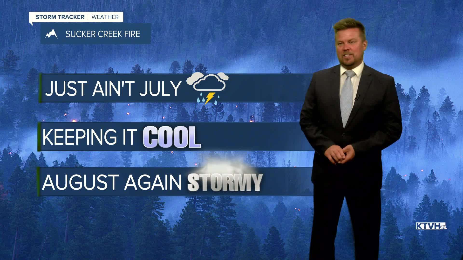


From new wildfires to flooding to large hail with severe thunderstorms, the weather has been very active in Montana and this will continue into August. Strong to severe thunderstorms have hit the state hard over the last few days and will continue to hit the state over the next several days. Powerful thunderstorms will continue through Monday evening and gradually diminish through the night. Tuesday will start off quietly but thunderstorms will fire again through the afternoon and evening. Thunderstorms will be more concentrated across central and southern Montana but the Hi-Line will have isolated thunderstorms as well. Some of the storms in central and southern Montana could produce large hail and torrential rain. Highs will be cooler than average in the 70s and 80s. Wednesday will have more isolated thunderstorms especially across western Montana. The northern part of the state will be dry. High temperatures will again be below normal in the 70s and 80s. More numerous thunderstorms are likely on Thursday. Severe thunderstorms are possible again with large hail and damaging wind. Highs will top out in the 70s and 80s. Friday will be another active day with widespread thunderstorms. Storms will continue both Saturday and Sunday afternoons. Storm activity may quiet down with some warmer temperatures by the middle of next week.
Have a great day,
Curtis Grevenitz
Chief Meteorologist
