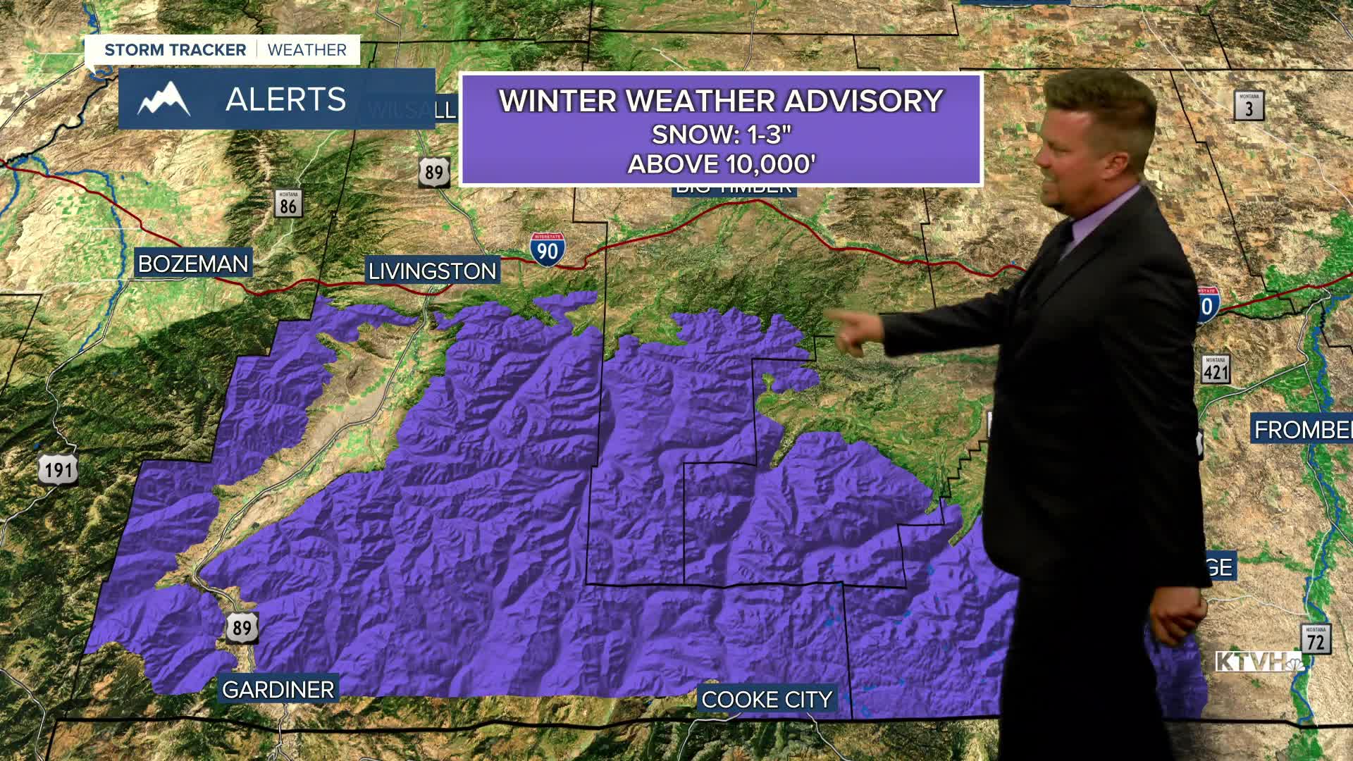


A WINTER WEATHER ADVISORY is in effect for the Absaroka and Beartooth Mountains.
A spring-like storm here at the end of summer is producing rain, thunderstorms, and even some mountain snow. This storm will continue to hit parts of the state through Tuesday. Scattered showers will continue through Monday night but the heaviest rain and high mountain snow will be across southern Montana. Tuesday will be partly to mostly cloudy with the most cloud cover to the south. Steady showers and thunderstorms will continue along I-90, with isolated showers and thunderstorms around Helena and Great falls. Highs will be close to average in the 60s and 70s. The Absaroka and Beartooth Mountains, even Big Sky could see upwards of 6" above 10,000'. The storm will slowly move out on Wednesday with mostly sunny skies but still a few lingering showers across eastern Montana. Temperatures will warm up into the 70s. Thursday will be a beautiful late summer day with sunny skies and highs in the 70s and low 80s. Warmth will continue on Friday as highs again reach the 70s and low 80s under mostly sunny to partly cloudy skies. The final weekend of summer will have some wind issues. A series of low pressure will move across southern Canada, a track that often produces strong wind across Montana. Saturday and Sunday will be partly to mostly cloudy with a few showers and isolated thunderstorms. Wind gusts could top out around 40-50mph. Highs will mainly be in the 70s to around 80 on Saturday, 60s and 70s on Sunday. Monday is the first day of autumn and it will be warm and windy with highs in the 70s.
Have a great day,
Curtis Grevenitz
Chief Meteorologist
