


A FLASH FLOOD WATCH has been issued for southwest Montana for Wednesday afternoon and evening.
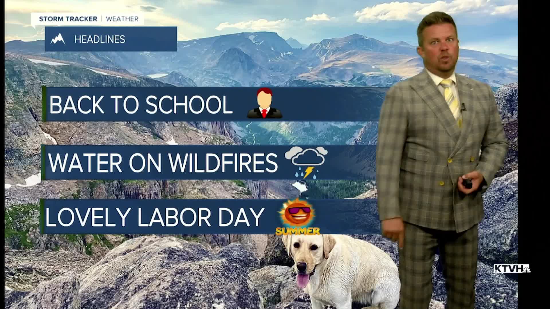
Heavy rain with monsoon moisture is slowly streaming up into Montana and significant precipitation could fall over and around the state's wildfires. Heavy rain and cooler temperatures could help firefighters get a better handle on several of the big blazes. Moisture will increase slowly with Wednesday night, Thursday and Friday the best chances at more widespread moisture with rain falling on wildfires. Wednesday will have more cloudcover with showers and thunderstorms creeping north. Helena will likely be dry with storms just to the south of the capital. Highs again will be in the 70s and 80s. Wednesday night that moisture will spread northward through the state. Thursday will be mostly cloudy with widespread showers and thunderstorms, especially across central and southern Montana. Just a few isolated storms will move over the Hi-Line. Thunderstorms will produce a drenching rain with some areas possibly getting more than an inch. Rain will fall around many of the state's wildfires. Highs will be in the 60s and 70s on Thursday. The slow moving area of low pressure will keep some clouds and scattered showers/thunderstorms around on Friday. Highs will be in the 70s to around 80. The area of disturbed weather will move out in time for Labor Day Weekend. An isolated thunderstorm is possible on Saturday but most areas will be partly cloudy with highs in the 70s and 80s. Sunday will be mostly sunny with an isolated thunderstorm, highs again will be in the 70s and 80s. Labor Day on Monday will be another pleasant day with just a slightw chance of a thunderstorm and highs in the 80s.
Have a great day,
Curtis Grevenitz
Chief Meteorologist
