A FLOOD WARNING continues for the Milk River at Glasgow.
A FLOOD WATCH has been issued for most of central Montana for Thursday.
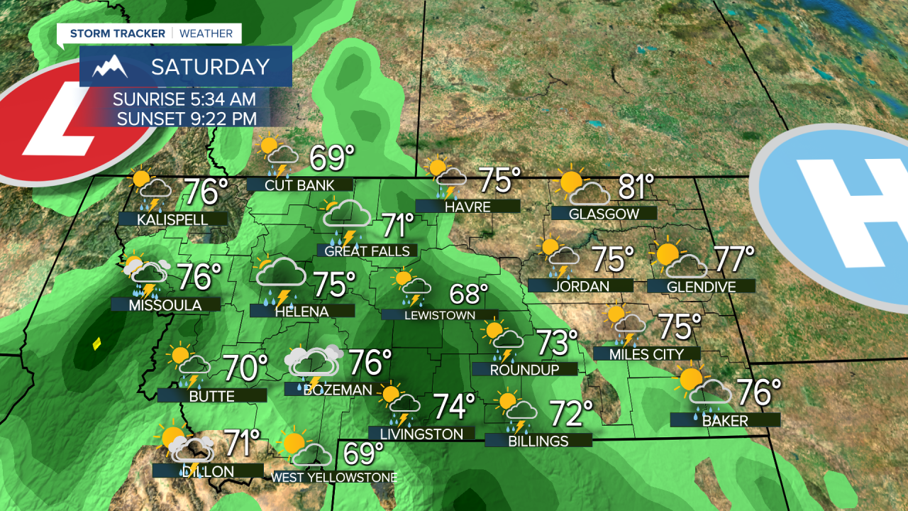
Parts of Montana saw a dry day for a change but that will not last as thunderstorms are already moving back in and heavy rain is likely. Much of Montana has picked up between one and five inches of rain in the last week, and there may be another one to five inches of rain in the next couple of weeks. The more it rains, the more likely flooding will happen as the ground is just about saturated. Flash flooding was an issue over south-central Montana on Tuesday with thunderstorms producing heavy rain. Storms will continue to work their way back north up through the state over the next several days. Wednesday the storms will work their way across southern and central areas, with a few storms late up across the north. Scattered thunderstorms are likely through the afternoon and evening. Highs will be in the 70s and 80s. Things get worse on Thursday as widespread thunderstorms and heavy rain are likely. Highs will be in the 70s. Friday will almost be the exact same with widespread thunderstorms, heavy rain, mostly cloudy skies, and highs in the 60s and 70s. Some storms could be severe, and flooding and flash flooding will become increasingly likely. This weekend will be wet and stormy with scattered thunderstorms across central and western Montana on Saturday. Sunday will have a bit more sunshine and slightly less thunderstorms but storms capable of producing very heavy rain will continue for most of the state. Highs will be in the 70s. The active pattern continues with more wet days than dry ones through the middle of June. Remember if you encounter flood water over the road, please "turn around, don't drown".
Curtis Grevenitz
Chief Meteorologist


