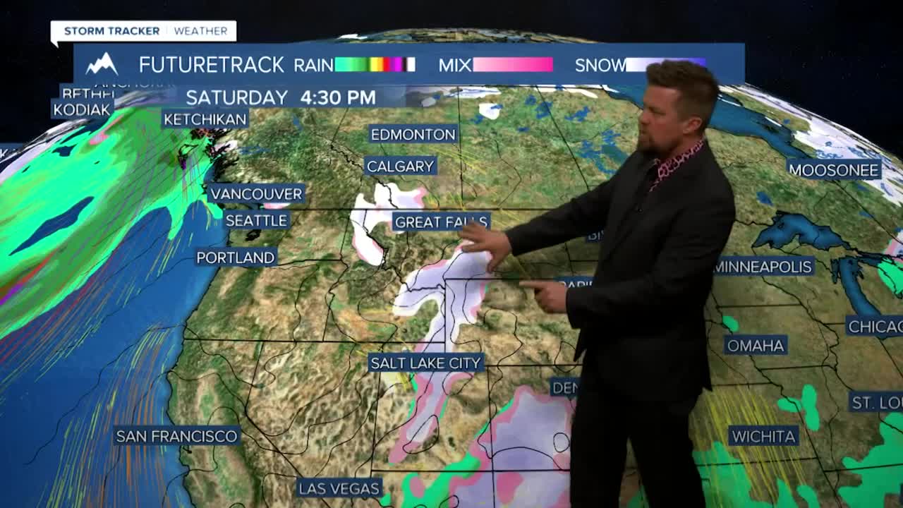
Parts of the West including Montana will have a little snow before Christmas and some places (not everywhere) will have snow on the ground for the holiday. Thursday, the first day of winter will be mostly sunny if not clear. Highs will again stay above average with 40s and 50s out over the plains and 30s and 40s in the valleys. The good news is after Thursday daylight begins to increase. Friday will be...you guessed it...another quiet day with mostly sunny skies and highs above average. Saturday is our chance for a little snow before Christmas. A weak front will push through the state with a chance at a little snow. There may be enough to coat the ground. Highs will be in the 30s and 40s. Areas of light snow will continue into Saturday night. That weak disturbance will move out on Sunday with decreasing clouds and with highs in the 30s. Christmas Eve night will clear out and temperatures will drop into the 10s. Christmas Day on Monday will be partly to mostly cloudy with highs in the 30s to around 40. There will be a bit of a breeze over the plains but the valleys will have no wind. It will be a pleasant holiday with no weather issues. The weather activity may pick up a few days after Christmas but it's looking like we may have to wait 'til next year for a good snow event.
Do your snow dance!
Curtis Grevenitz
Chief Meteorologist


Posted
and last updated
