A WINTER STORM WARNING is in effect for most of central, northern and western Montana into Thursday.
A WIND CHILL ADVISORY has been issued for most of the state for Thursday.
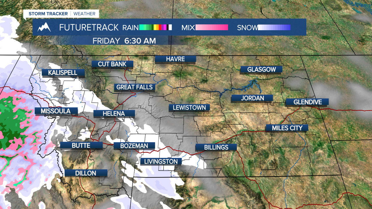
It's been a stretch of "Real Montana Winter" as another blast of snow, arctic air and frigid wind chills move through. Snow has been falling intensely for much of Wednesday afternoon and evening, and this will continue through the night. Areas of heavy snow will create whiteout conditions and difficult travel on Wednesday night. Several more inches will accumulate by morning. Snow will quickly taper off through the early morning with sunshine increasing through the day. Highs will be cold again, only in the -0s and 0s. Wind chill values could drop to around -30 to -40 at times. Thursday night's low will dip well below 0 again to as cold as -20. This is still dangerously cold, but it's not as bad as just a few days ago. This arctic outbreak will not last nearly as long as temperatures warm up into the 20s and 30s on Friday. Area of light snow will fall across western into central Montana through Friday morning. This snow is part of a warm front that will ultimately move throughout the state. Some areas up on the Hi-Line will still have highs in the 0s but warmer air will take over the entire state this weekend. Call it a Mini January Thaw because temperatures will warm above the freezing point for most. Under mostly cloudy skies on Saturday, highs will top out in the 30s to around 40. There may be a few isolate snow showers over the mountains. The wind will gust up to around 20mph across the plains. Sunday will be mostly cloudy with temperature in the 30s and 40s. Relatively mild weather will continue through early next week. As of now, there are no major arctic outbreaks or heavy snowstorms through the end of January.
Curtis Grevenitz
Chief Meteorologist


