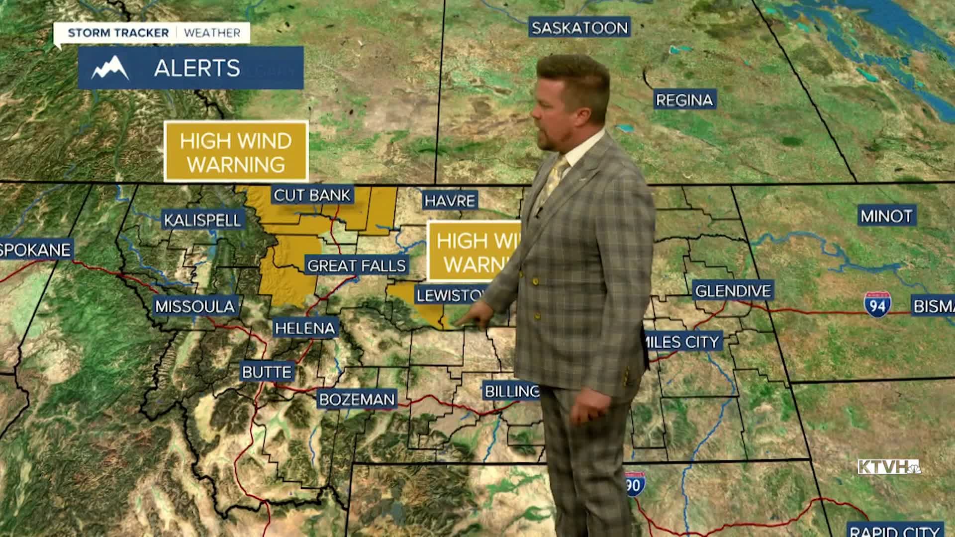


A HIGH WIND WARNING has been issued for parts of the state into early Tuesday morning.
A weak cold front will bring limited moisture but plenty of wind to parts of the state through the night into Tuesday morning. There have already been gusts up over 80mph near East Glacier, and powerful gusts will continue through the night into Tuesday. The strongest wind will be along the Rocky Mountain Front and Continental Divide. Strong gusts higher than 60mph are possible in central Montana as well. This front will pop off a couple of showers of rain and snow up on the Rocky Mountain Front and in the mountains. Tuesday will be a breezy day but the wind will not be as strong. It'll be mostly sunny with highs in the 50s to around 60. The wind will diminish through late afternoon. Wednesday will be a mild day, starting off mostly cloudy but becoming partly sunny through the afternoon. Highs will be in the 40s and 50s, the wind will be light. Thursday will be another warm November day with highs mainly in the 60s. A few spots in north-central Montana may hit 70 and a few record highs are possible. The wind will increase across the plains and the Rocky Mountain Front. Another cold front with little precipitation and a strong push of wind will move through on Friday. There will be some snow showers in the mountains, a few rain showers in the lower elevations, strong west wind, and highs in the 40s to around 50. This weekend will be fairly quiet. Saturday will be partly cloudy with a few isolate rain and snow showers. It will be breezy. Sunday will be partly cloudy with wind returning to the plains. Another weak front could bring some light rain and snow to the state later Monday night into Tuesday. There are no strong storms or arctic air in the forecast. The northern lights are likely to be out over the next few nights.
Have a great day,
Curtis Grevenitz
Chief Meteorologist
