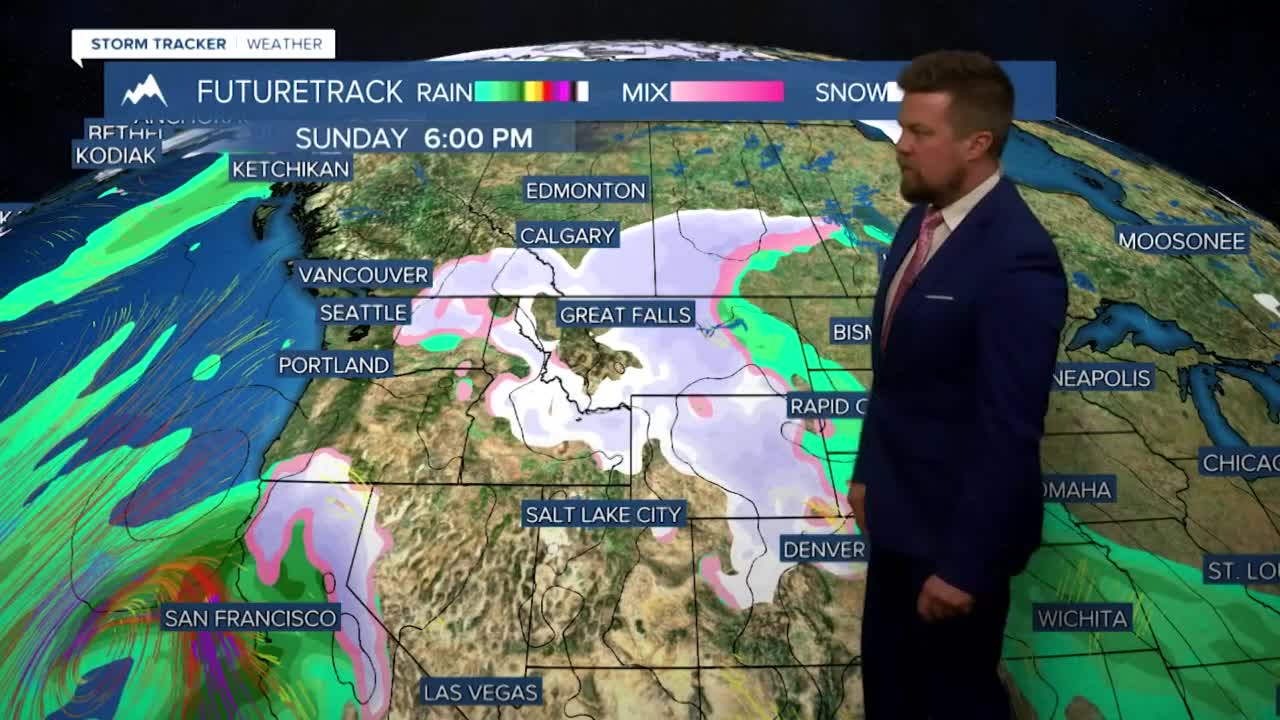


January 2024 and the unusual warmth is coming to an end as more typical weather for February with snow and colder temperatures return this weekend. It's not the weekend yet, and there will be some lingering warmth that continues through the workweek. Enjoy it while we have it because winter is coming back with snow and colder temperatures soon. Thursday, Feburary 1st will be another gorgeous day with mostly sunny skies and above average temperatures in the 40s and 50s with a few areas cracking 60 one more day. Changes will start happening in Montana on Friday on Groundhog Day as the warm air starts moving out and a new storm moves in. There will be some snow and rain moving into western Montana late in the day. Highs will be in the 40s and low 50s. Winter is back this weekend and snow moves back across the state on Saturday. Highs will be down in the 30s and low 40s, and some of the snow may mix with rain in the lower elevations at the onset of precipitation but quickly transition to all snow. Several inches of snow will accumulate in the mountains, valleys and plains through Saturday night into Sunday. Snow showers will taper off through Sunday. There will be continued seasonable temperatures with a few chances at light snow. The first half or so of February looks to be more typical weather for this time of year.
Curtis Grevenitz
Chief Meteorologist
