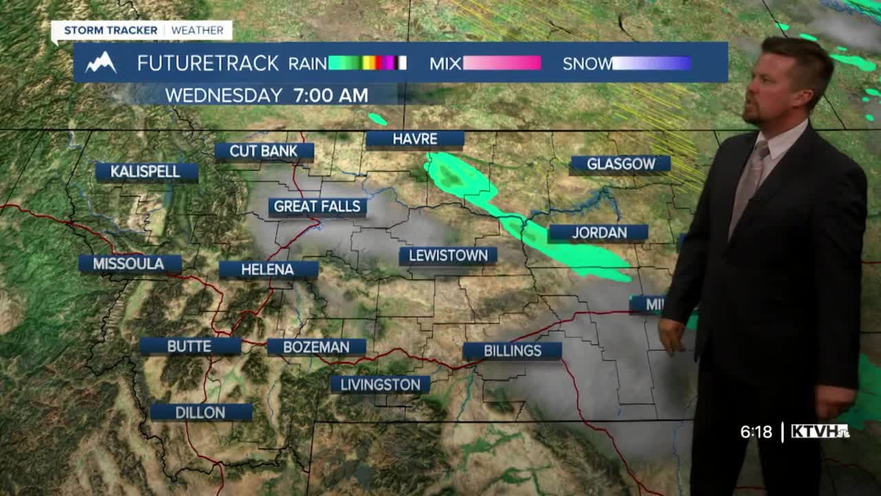


An enormous high pressure is building in from the eastern Pacific, prolonging Montana's pleasant fall weather. While rain came down fast and furious early on Tuesday morning, it will be a while before significant precipitation returns to the state. Wednesday will be mostly sunny with highs close to average in the 60s. The wind will be stronger and the temperatures cooler the farther northeast you go in the state. Thursday will be very similar with mostly sunny to clear skies, stronger wind in eastern Montana, and highs will top out in the 60s. Friday will be a bit warmer with less wind, and highs will top out in the 60s to around 70. The weekend will start off unsettled with mostly cloudy skies and scattered showers on Saturday. There will be a little higher elevation snow as well. This system looks similar to the one that came through on Tuesday morning. It will be a fast mover and not spend the entire day in the state. Highs will cool into the 50s and 60s in the lower elevations, but 30s and 40s in the mountains. Sunday will salvage the weekend with a return of sunshine and highs back up in the 60s to around 70. Dry, sunny and warm weather will continue into the middle of next week. Longer range, some stormy and colder weather with the possibility of rain and snow is likely getting into the final week+ of October.
Curtis Grevenitz
Chief Meteorologist
