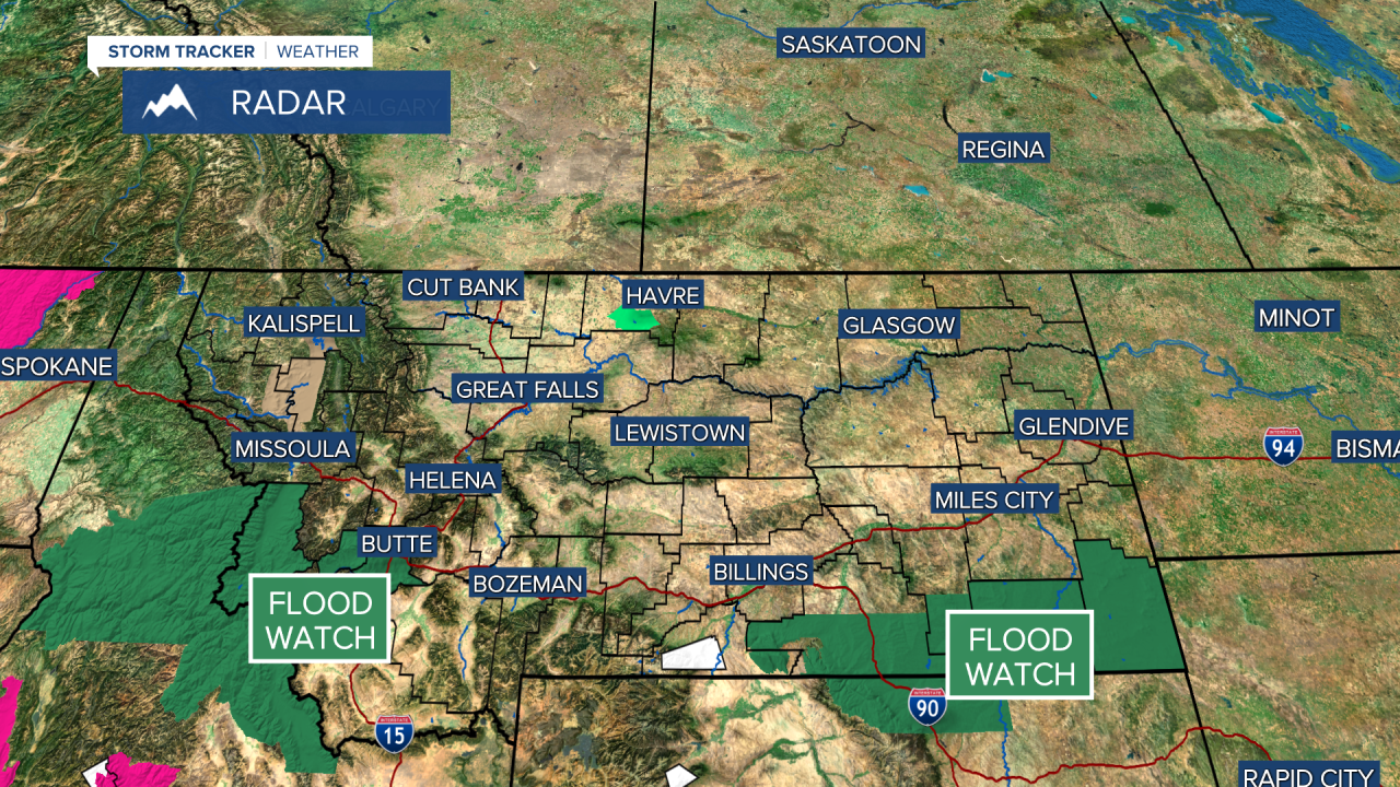
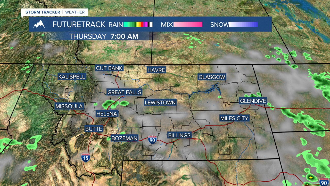
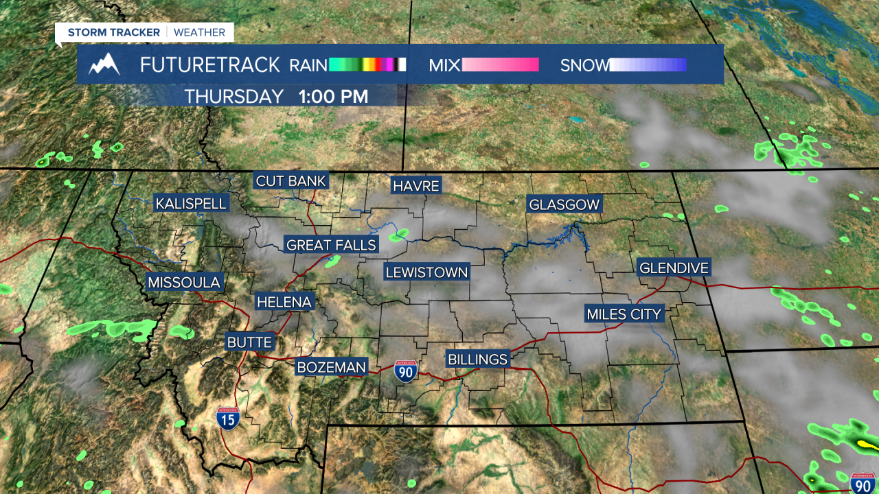
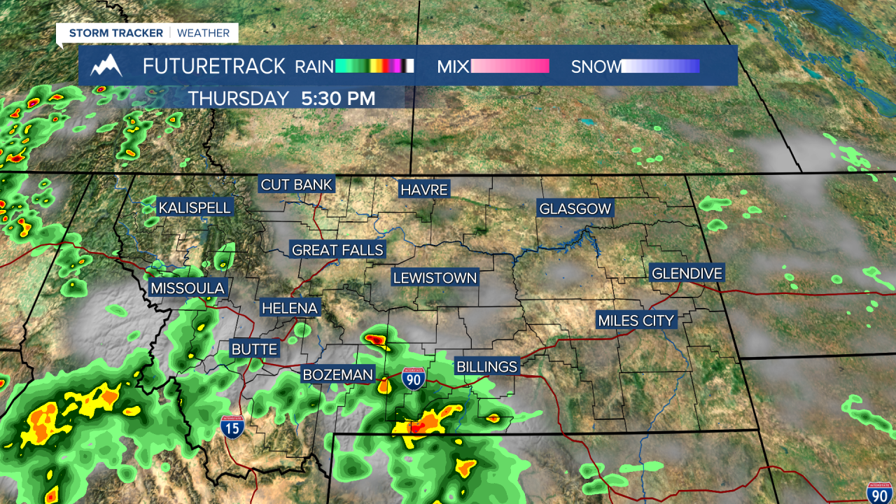
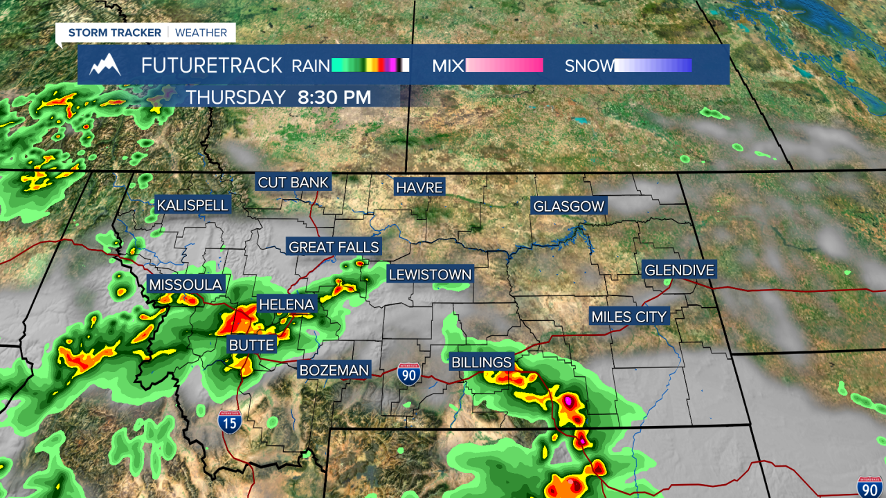
A FLOOD WATCH continues for parts of southeast and southwest Montana.
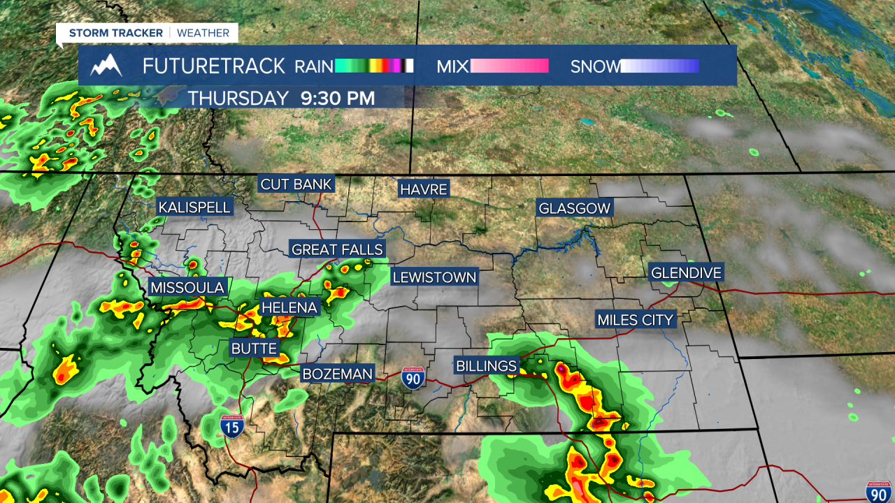
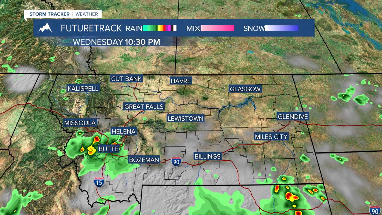
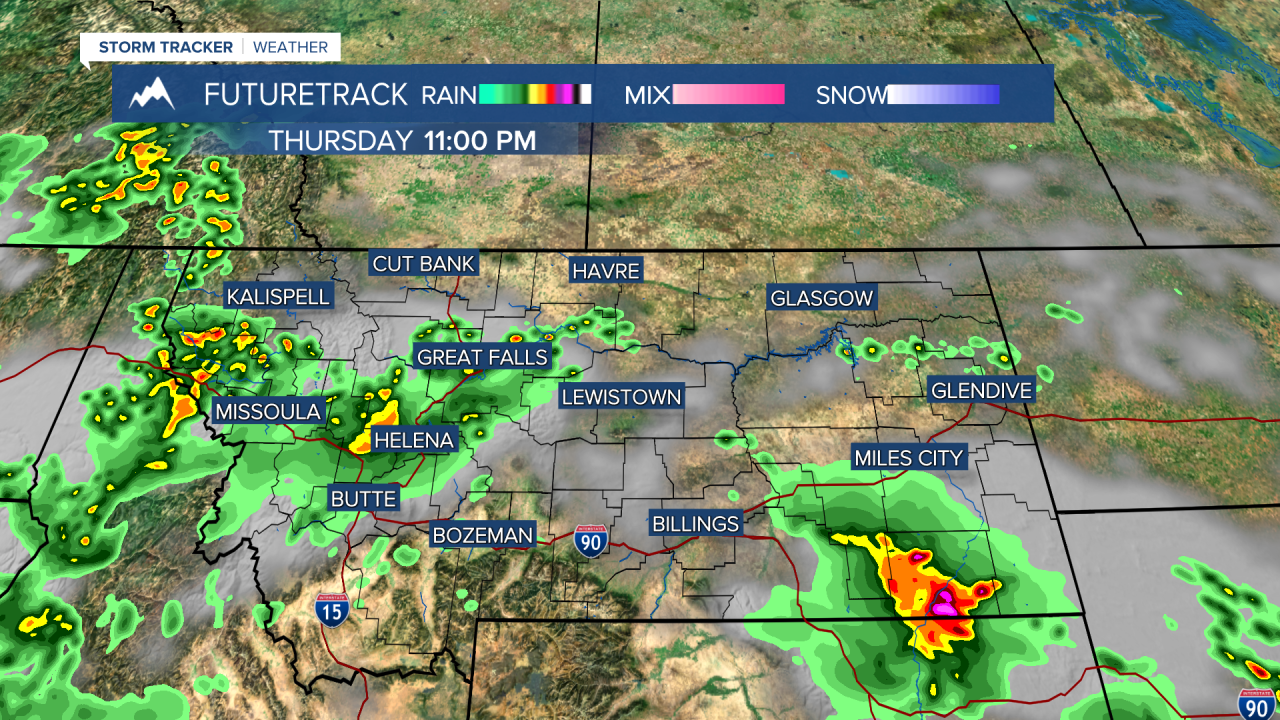
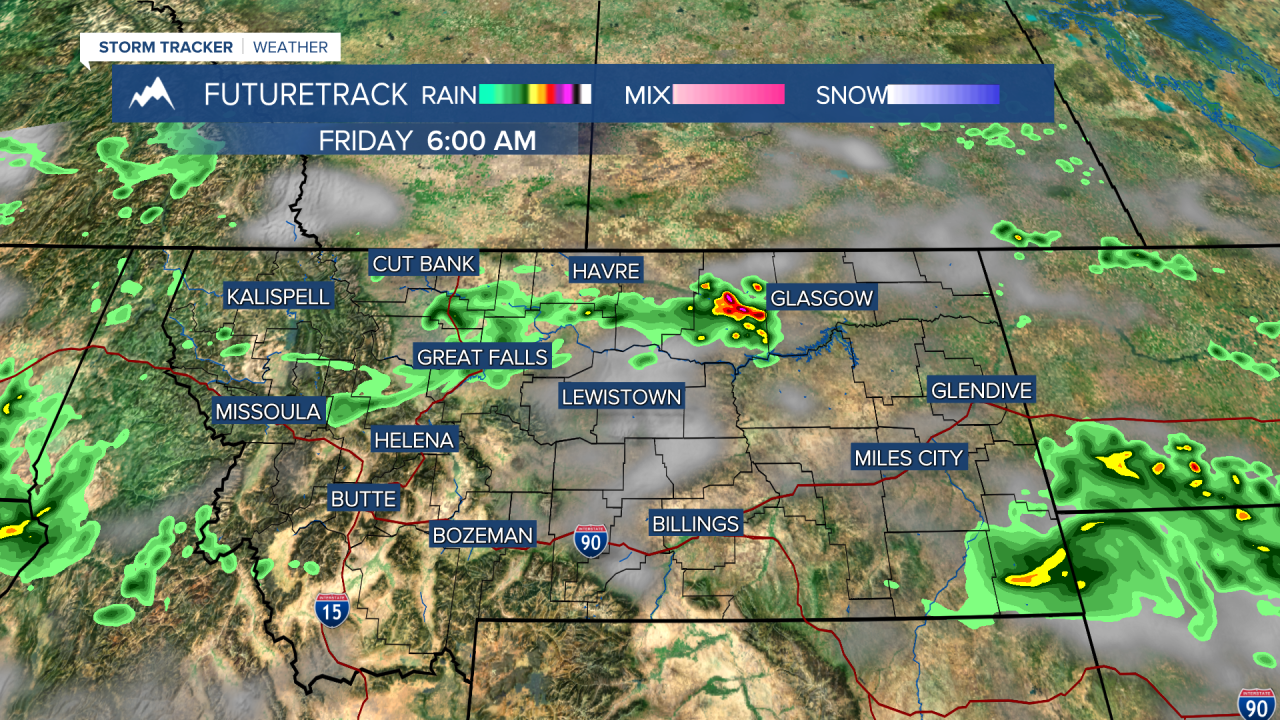
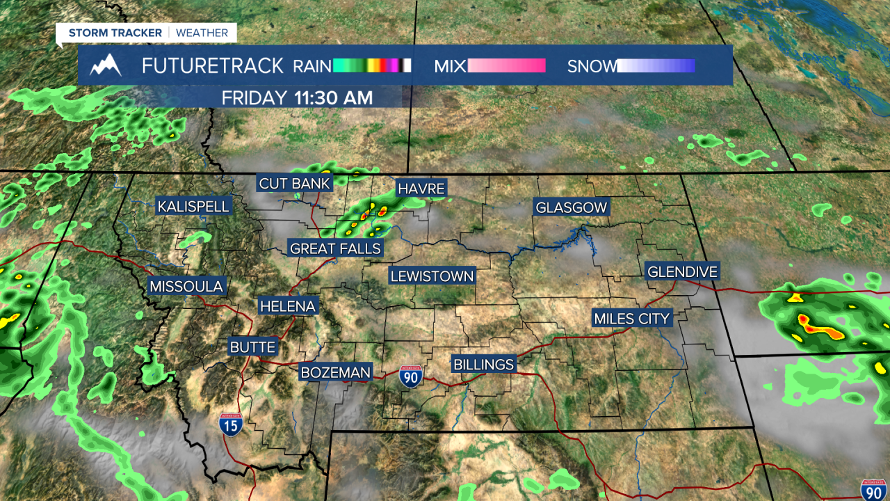
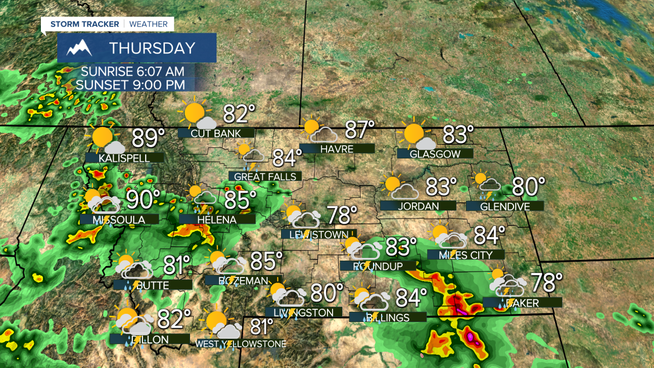
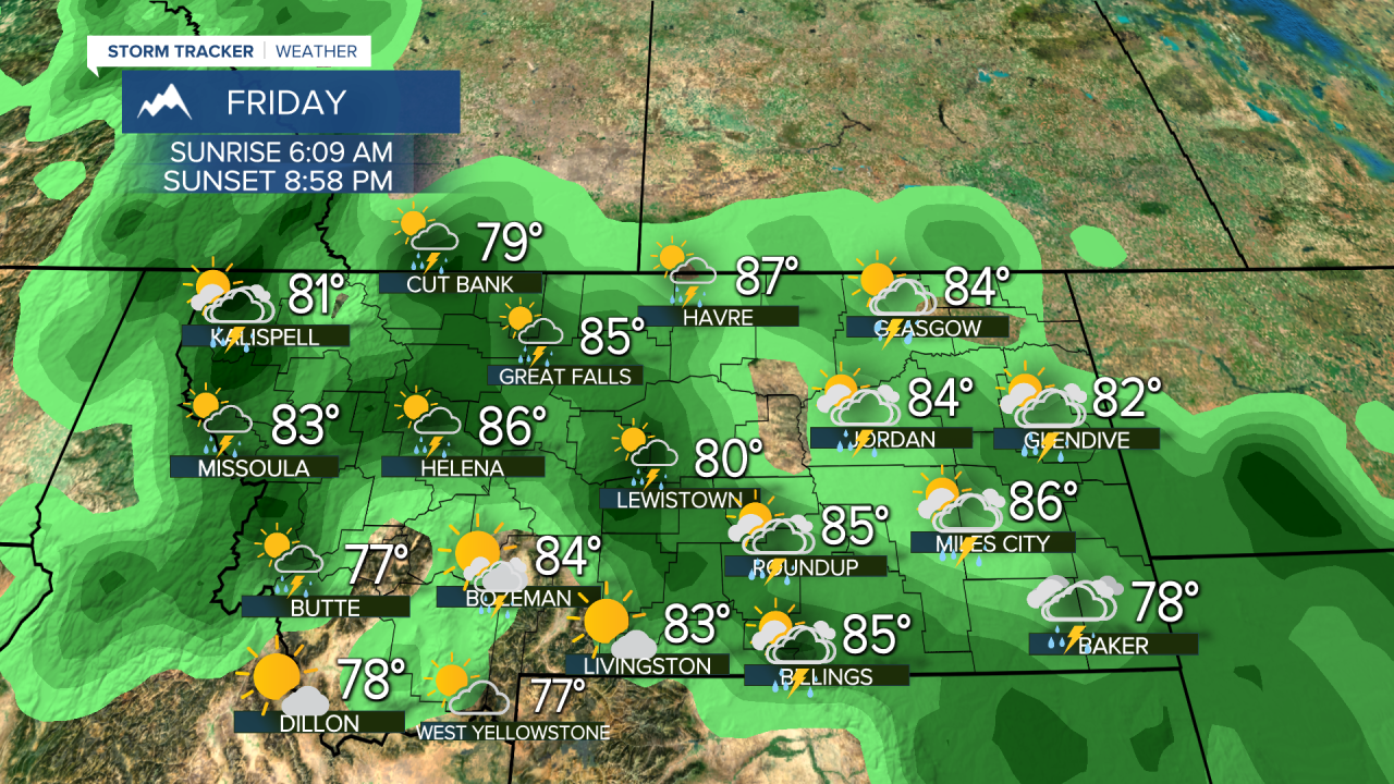
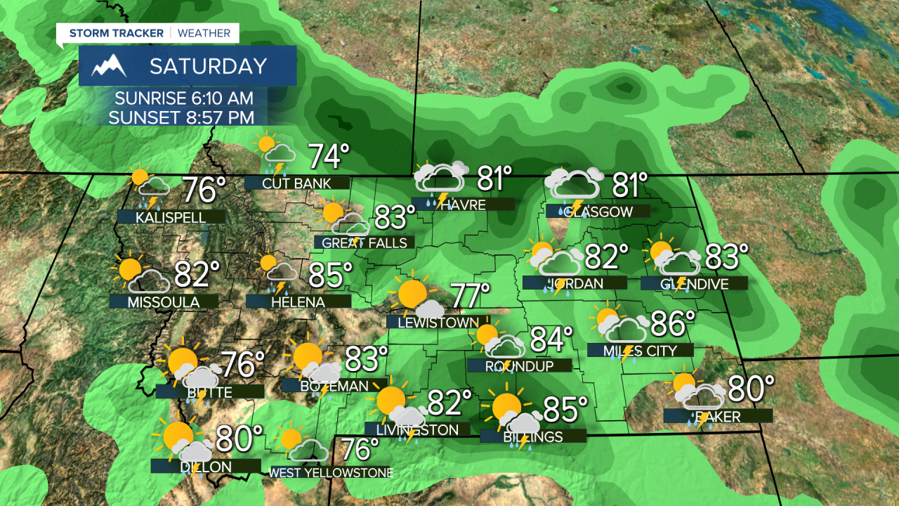
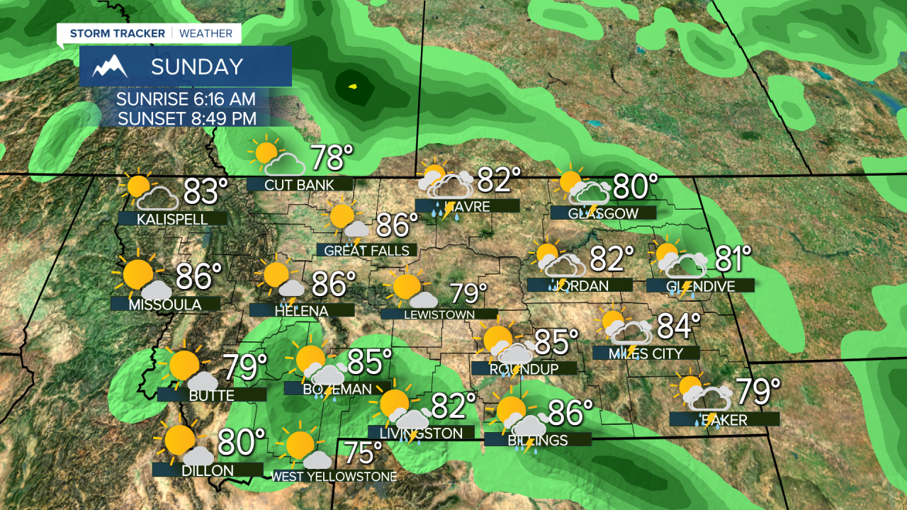
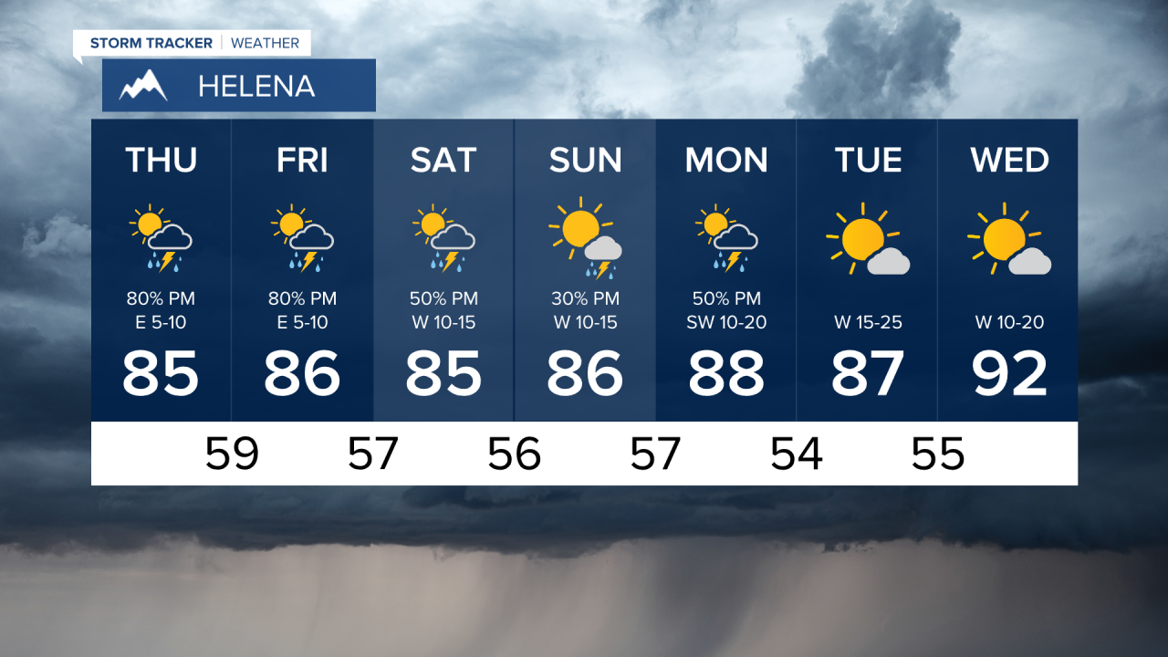
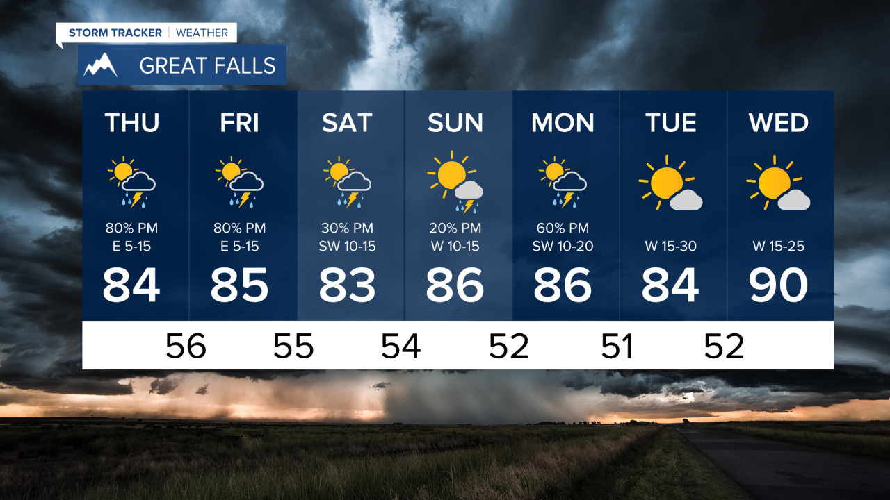
After a couple of days with isolated thunderstorms for the state, more widespread storms will rumble across Big Sky Country over the next several days. Thunderstorms have been wild and wet across the state the last several days, but lightning strikes have sparked moderate sized wildfires across the state as well. At the same time, these thunderstorms are producing very heavy rain on fairly saturated ground after all of this July precipitation. Some areas have had flash flooding with these thunderstorms, so it's quite the dichotomy we are dealing with now. More numerous thunderstorms are likely on Thursday. Severe thunderstorms are possible again with large hail and damaging wind. Highs will top out in the 70s and 80s. Friday will be another active day with widespread thunderstorms. Storms will continue both Saturday and Sunday afternoons. Scattered thunderstorms will roll across the state on Monday as well before some drier, hotter, windy weather briefly returns Tuesday and Wednesday.
Have a great day,
Curtis Grevenitz
Chief Meteorologist

