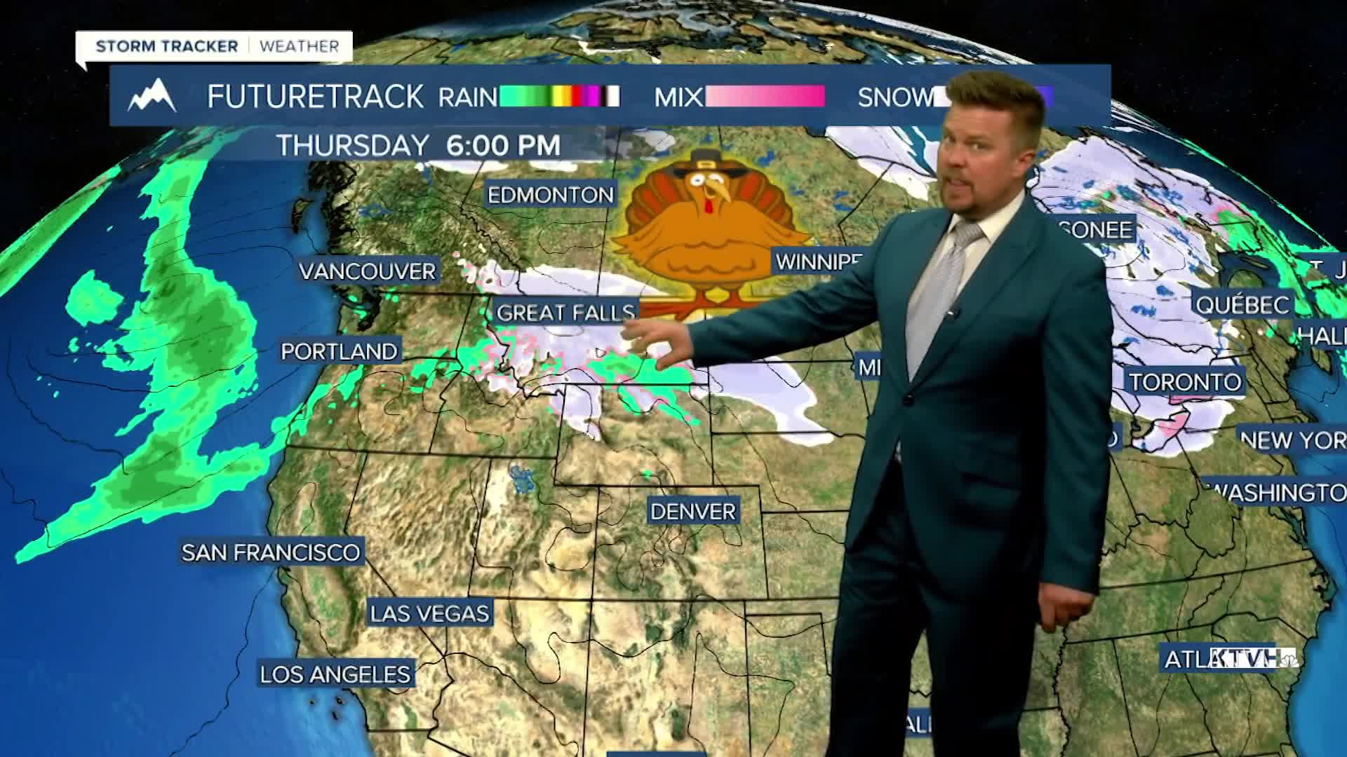


Big changes are coming just ahead of Thanksgiving with cold and snow returning to Montana, ending the stretch of warm and dry weather. A big drop in temperature plus a little snow will hit in the days leading up to Thanksgiving. It won't be terrible, we're not talking about subzero temperatures and feet of snow. However, there will be more typical weather for the end of November and some people traveling for the holiday could face some slippery conditions. The wind returns to the plains on Friday but the sun will continue to be bright. Gusts could top 40mph along the Rocky Mountain Front. Highs will top out in the 50s. This weekend will be dry, partly cloudy and mild. Highs will stay above average in the 50s, some places like Great Falls could even hit 60. Changes arrive Sunday night into Monday. A strong cold front will move through the state with a lot of wind, falling temperatures and areas of snow. Highs will only be in the 30s and 40s. Wind gusts could top 50mph. There will be some light accumulation in the lower elevations, with several inches in the mountains. Tuesday will be much colder with some lingering snow showers. Highs will top out in the 20s and 30s. An active, colder pattern will continue on Wednesday through Thanksgiving. A little light snow is possible on Wednesday, one of the biggest travel days of the year. Some snow and rain are possible on Thanksgiving day. Overall, colder and snowy weather should continue into December.
Have a great day,
Curtis Grevenitz
Chief Meteorologist
