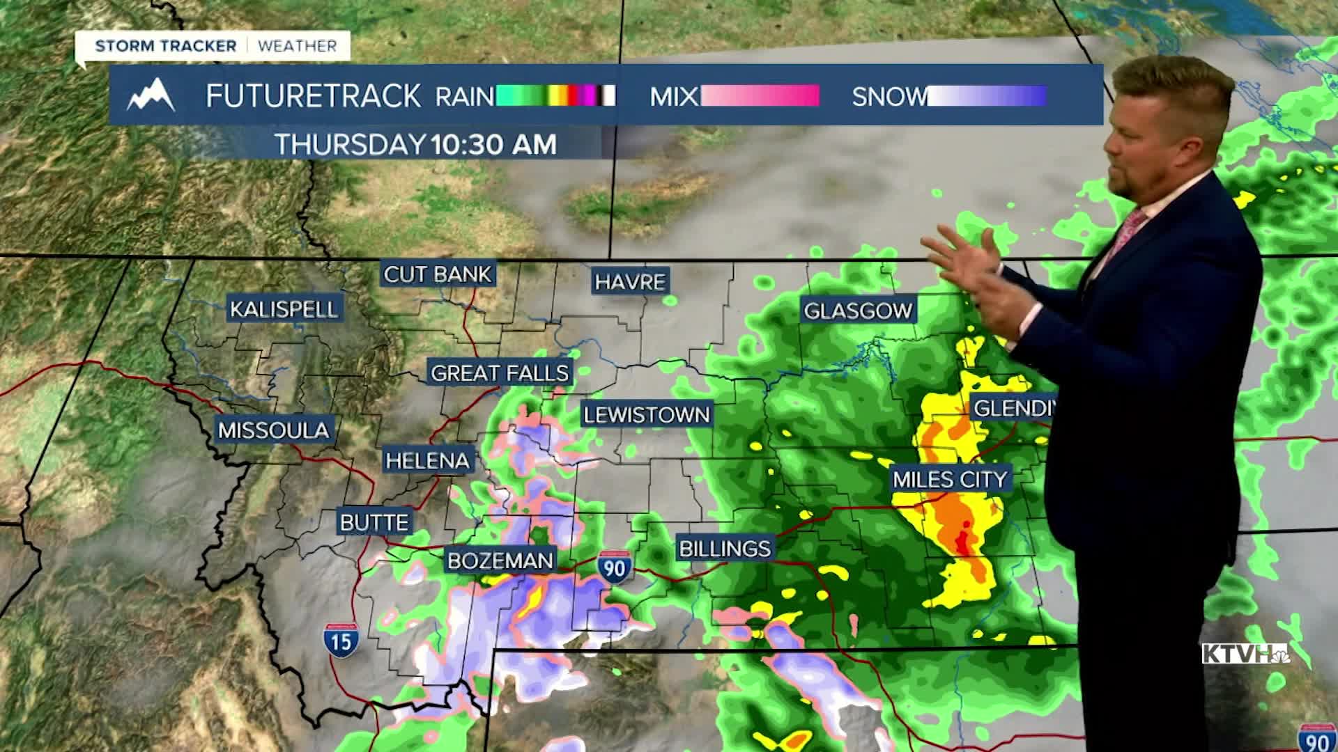


A storm system that has impacted Montana since the weekend is finally on the move and will be moving out by the end of the week. Low pressure moving up through the Rockies could bring a bit more rain and rain/snow to the lower elevations with snow in the mountains along and east of the Continental Divide through Wednesday night into Thursday morning. The stubborn storm will spread some soaking rain across eastern Montana on Thursday as it begins to move away, with increasing sunshine through the afternoon for western and central areas. Highs on Thursday will top out in the 40s and 50s. Friday will be a partly cloudy, windy and warmer day with highs in the 50s to near 60. A weak cold front could produce a few showers of rain and snow late in the evening mainly over the mountains. This weekend will be partly to mostly cloudy, windy across the plains and over the Divide, and dry until Sunday afternoon. Highs will reach the 50s and 60s both Saturday and Sunday. A chinook arch cloud formation off the Divide should keep adjacent areas mostly cloudy. A new storm will move in for Sunday evening into Monday with another chance of rain in the lower elevations and snow in the mountains. After not having much wind recently, much of Montana will have stronger wind through the weekend and most of next week.
Have a great day,
Curtis Grevenitz
Chief Meteorologist
