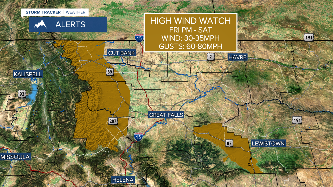
A HIGH WIND WATCH has been issued for the East Glacier area, Rocky Mountain Front, and parts of Judith Basin County for Friday evening into Saturday.
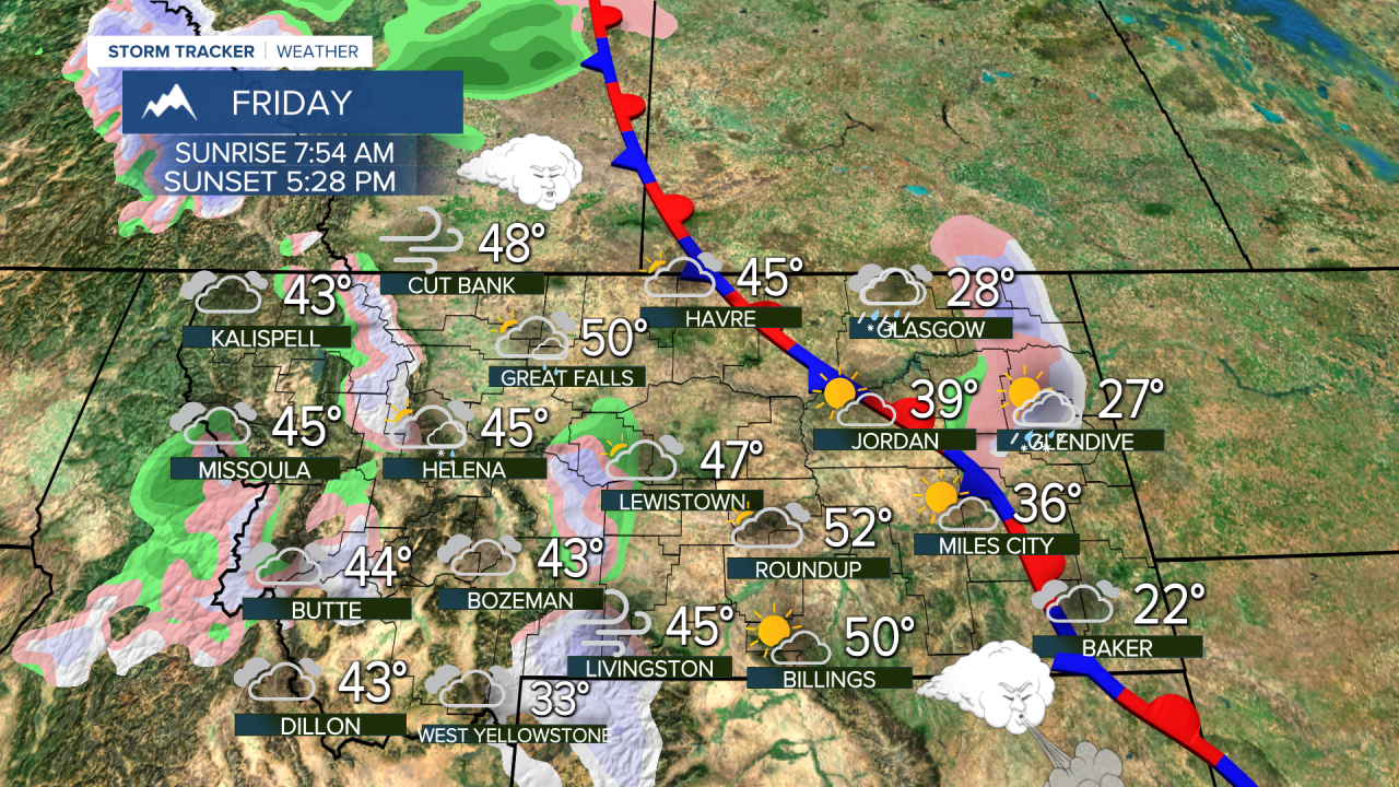
The pattern with warm and dry high pressure in the West, and cold and snowy conditions in the East will continue into February. This pattern really developed in November, and has briefly broken a few times resulting in short periods of snow and arctic air in Montana. High pressure with dry and mild conditions will continue for much of the West through the first full week of February. Another break in the pattern may allow for snow and cold to return around February 11th-14th, in and around that time period. Until then, winter will be hard to find unless you travel to the East Coast. Clouds will increase on Friday with a few mountain snow showers and lower elevation rain showers through the afternoon and night into Saturday morning. Strong wind will howl most of Friday night. Saturday will turn partly cloudy, windy and mild with highs in the 40s and 50s. Sunday will be partly to mostly cloudy and mild with highs in the 40s and 50s. There will be a strong wind on the plains and over the Continental Divide. Another weak front will move through on Monday with just a few mountain snow showers and strong wind. Highs will be in the 40s to around 50. All of next week will be warm and dry with a strong wind across the plains and over the Continental Divide.
Have a great day,
Curtis Grevenitz
Chief Meteorologist


