



An AIR QUALITY ALERT is in effect for parts of Montana west of the Continental Divide.
A LAKE WIND ADVISORY is in effect for Fort Peck Reservoir.
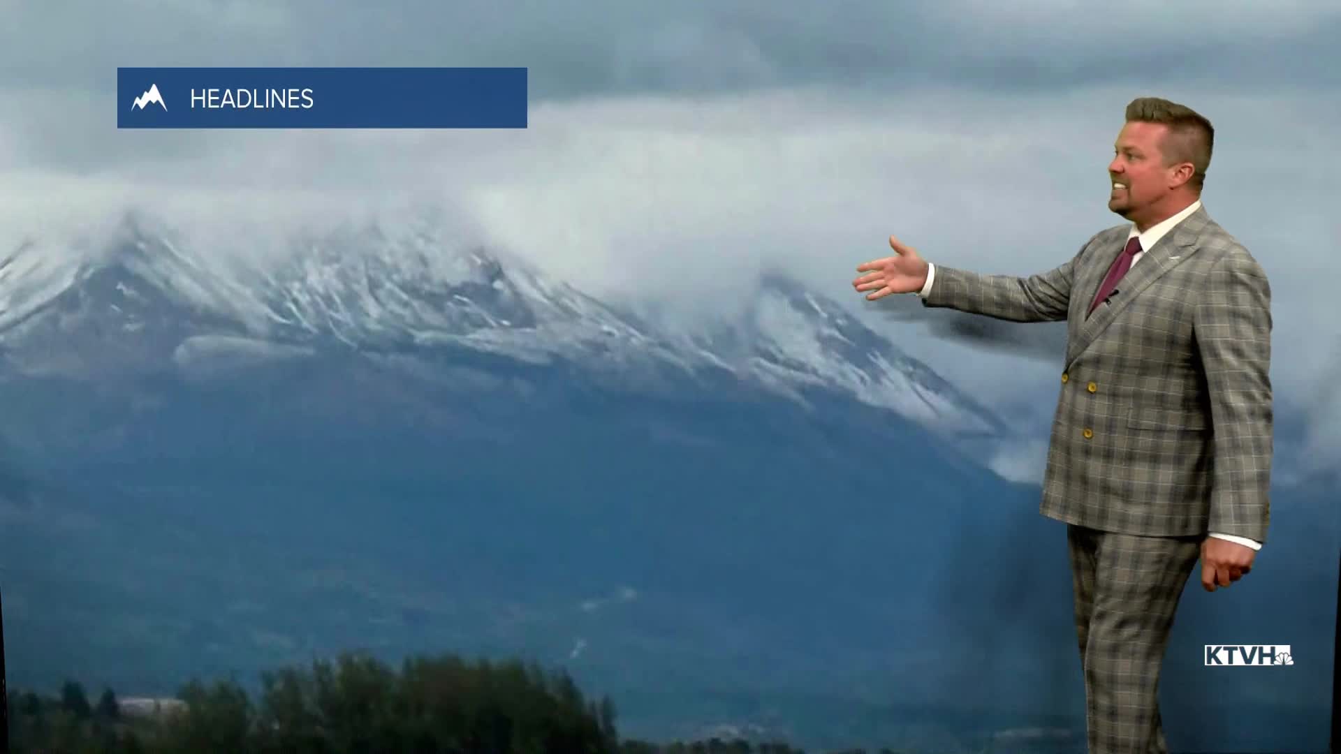
After a wild weekend of heat, wind and fire danger, Montana has experienced a major swing in its weather with much cooler temperatures, cleaner air, and even some high mountain snow. Over the weekend, new wildland fires started and existing ones grew, some by over a thousand acres. BUT, with how hot and windy it was, it could have been much worse. So not only did it cool off, but most of the state east of the Continental Divide got a break from the smoke as the air quality is "GOOD" to "MODERATE" in a few locations. It's only the beginning of August. There's a lot of summer, heat and wildfire season to go. However, I don't think there will be another couple of days that were quite so bad as last weekend. Monday night into Tuesday morning will be quite chilly. Lows will drop into the 30s and 40s with a chance some towns near record low temperatures. Tuesday will start out crisp but turn into a beautiful early August day with mostly sunny skies, pretty good air quality, and highs in the 70s. Tuesday night will be another cool night with lows in the 40s. Wednesday it's back to normal with sunshine and highs in the 80s. The air quality will slowly deteriorate later this week as smoke slowly works back into Montana. Thursday will be a warm summer day with highs in the 80s and low 90s, fortunately the wind will be light. Friday will be hot and windy with higher fire danger. It's likely that some of Montana's wildfires will grow and emit more smoke. Highs will be in the 80s and 90s with a wind gusting up to 25-30mph in the afternoon. Saturday will be hot as well with highs in the 80s and low 90s, but the wind will ease up some. Sunday will be partly cloudy with highs in the 80s to near 90. Overall, the weather should be somewhat cooler than the last 3 weeks. There still is a lot of summer left, but hopefully the worst heat and fire danger are behind us.
Have a great day,
Curtis Grevenitz
Chief Meteorologist
