



A RED FLAG WARNING has been issued for northeast Montana through Thursday evening.
A HEAT ADVISORY continues for north-central and northeast Montana.
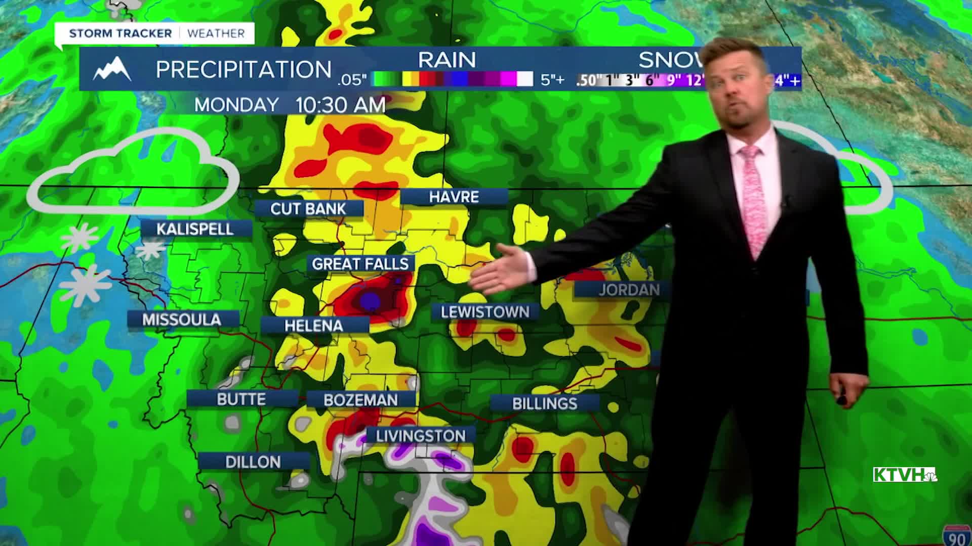
A few thunderstorms are hitting Big Sky Country again, but the storms will become stronger and more numerous over the next few days. An area of low pressure is spinning over California and Nevada, producing the thunderstorms in Montana. As this storm system gets closer to Montana over the next few days, the thunderstorms will increase. This same storm system will likely produce widespread rain and high mountain snow across the state this weekend. Don't expect much sunshine or warm temperatures, as widespread soaking rain, clouds and cooler air will move through Montana on the final weekend of May. Thursday will start out mostly sunny and warm with isolated thunderstorms developing in the afternoon and evening. Highs will be in the 80s and 90s, with the hottest temperatures across eastern Montana. The fire danger will continue to be high there as well, with hot temperatures, low humidity and gusty wind. Friday will turn stormy in the afternoon, and some of the storms could become severe with large hail and damaging wind. Highs will top out in the 80s and 90s before the storms. The big low pressure system will slowly move across Montana this weekend with widespread significant rain. Heavy snow will fly in the higher mountains. Highs will be cooler in the 50s and 60s. With up to a few inches of rain likely, there is potential for flooding later Sunday into Monday. Rain will slowly wind down through Sunday night but showers and a few thunderstorms are still possible through the middle of next week. While this May has been drier than normal so far, the final weekend of May will be very soggy.
Have a great day,
Curtis Grevenitz
Chief Meteorologist
