


A HIGH WIND WARNING has been issued for the Rocky Mountain Front, East Glacier area, through parts of central Montana into Friday.
A WIND ADVISORY has been issued for areas west of the Continental Divide into Friday.
A WINTER WEATHER ADVISORY has been issued for the Rocky Mountain Front, Glacier region, and parts of northeast Montana.
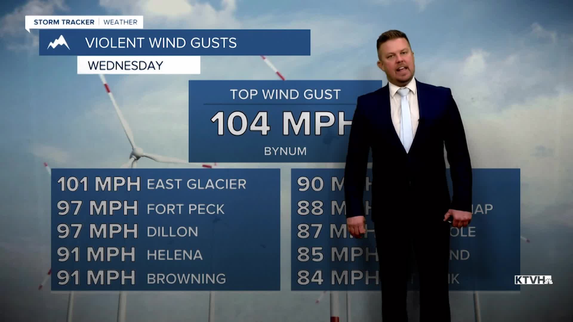
After one of the worst winds in recent memory for Montana, another storm system will bring another round of powerful gusts to the state. This wind event will not be as strong as the previous one, but there will still be some wind issues. Once again, travel will be difficult. More power outages are possible, and this wind could slow the repair of already downed powerlines. Some branches and trees that were weakened by the last wind event may come down in Friday's wind. A cold front will move through the state producing areas of rain and snow. The wind on Thursday night through Friday will be stronger with some gusts topping 50-75mph. The front will move south through the day with rain mixing with and changing to snow in some areas of southern Montana. Several inches will accumulate in the mountains. Wind and any precipitation will ease up later on Friday. Saturday looks relatively quiet with seasonable temperatures, partly cloudy to mostly sunny skies and a pretty chilly wind gusting up to 40mph. The weather should be good for those traveling or intending to watch the Cats-Grizz playoff game. Sunday is the official start of winter, and it should be partly to mostly cloudy with highs in the 30s and 40s. Christmas is a week away and the weather leading up to the holiday looks fairly quiet. Right now on Christmas Day, some colder air might move through northern Montana but the southern half will be a little warmer. Most of the state will be partly cloudy with a light breeze.
Have a great day,
Curtis Grevenitz
Chief Meteorologist
