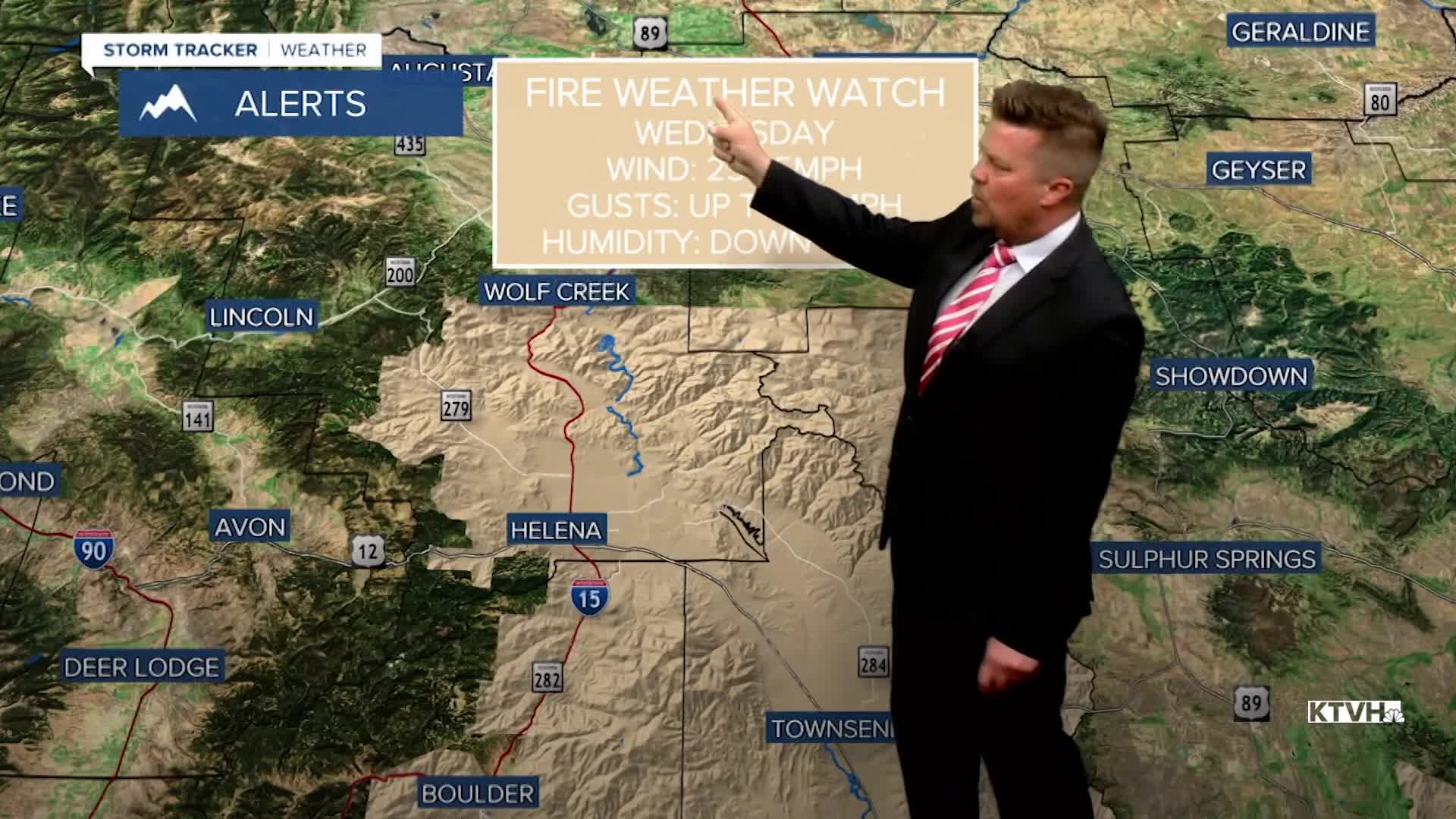


A FIRE WEATHER WATCH has been issued for Wednesday for parts of central and southern Montana including the Helena area.
A HIGH WIND WATCH has been issued for parts of the Hi-Line and southwest Montana through Wednesday afternoon.
Last week, strong wind fanned the flames of several wildfires in Montana. This week, another round of wind will move in with fire danger once again increasing. The conditions will not be as severe as last week, but strong wind, warm temperatures, low humidity and dried fuels will create an increase in the wildfire threat. A new storm moving in from the Pacific on Tuesday will bring wind, some showers, and high mountain snow. Temperatures will be mild in the 50s and 60s. Wind will gust 20-40mph through the day and into the night. A cold front will come through Montana on Wednesday. The worst of the wind will be along this front with some gusts nearing 60-65mph. There will be some showers of rain and mountain snow. The worst of the wind should be through the middle of the day into the afternoon, making the fire danger high. Temperatures will reach the 50s and 60s for highs, but cool through the 40s later in the afternoon and evening. There will be some showers and mountain snow showers. As temperatures cool and the humidity rebounds through the afternoon and evening, the fire danger will decrease. Thursday will be a chilly day with partly cloudy skies, cooler temperatures, along with some wind but the fire danger will not be as high. A few snow showers will fly in the mountains. Friday will be a gorgeous day with mostly sunny skies, light wind, and highs in the 50s. Another warmup is on the way for the weekend with highs in the 50s and 60s under partly to mostly sunny skies. Around April 1st or shortly thereafter, a big spring storm could bring a return of widespread snow to much of Montana.
Have a great day,
Curtis Grevenitz
Chief Meteorologist
