

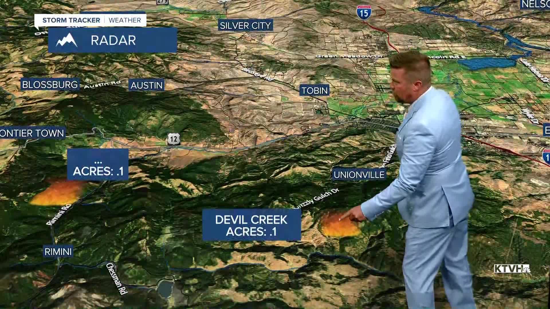


There are wildfires burning and a little smoke in our Big Sky, but overall the weather here in the final week of August is pretty pleasant. The most active fire in the state continues to be the Camp Creek Fire in the Bob Marshall Wilderness which has now burned more than 7,200 acres. There have been several new small wildfire starts, but the recent moisture and lack of strong wind is allowing firefighters time and opportunity to respond to these fires before they can get out of control. Over the next few days there will be some thunderstorm activity, these storms will have moisture with them. The wind will not be that strong either. Temperatures will be warm the next few days, but a cooler airmass is on the way for the weekend. Thursday will be partly cloudy with a few more thunderstorms moving east through the afternoon and evening. Highs will be in the 80s to low 90s. Friday will be a pleasant August day with mostly sunny skies and highs in the 70s and 80s. This weekend will have a new storm system move into Montana. Saturday will be partly cloudy with scattered thunderstorms through the afternoon. Highs will be in the 70s and 80s. There will be a wind up to 20mph on Saturday afternoon. The storm will move out of the state by Sunday, leaving mostly sunny skies, a moderate west wind up to 30mph, but cooler temperatures in the 70s. September 1st is next Tuesday, signaling the beginning of meteorological autumn.
Have a great day,
Curtis Grevenitz
Chief Meteorologist
